
What is recorded here
Dungarvan Castle is a Norman fortress built by Prince John in 1185 on the mouth of the Colligan River. Its rare polygonal shell keep still stands beside an eighteen-century barracks where soldiers once marched and lived. The castle survived fire during the Irish Civil War and later became a Garda station before returning to public hands. It is no longer a private weapon but a visible record of the people who kept, lost and recovered it.
Dungarvan Castle is recorded as a castle in County Waterford. Its open map record supplies this location and any linked names or public references.
Dungarvan Castle was originally built by the Fitzgeralds, Earls of Desmond, in the 13th century, and later held by the O'Donovans. It is important as a historical symbol of medieval power struggles in southern Ireland and as a rare surviving example of early Irish castle architecture.
- Operator
- Office of Public Works
Places near here
 Dungarvan Castle (in Ruins)Castle, Anglo-Norman masonry castle · 1 yd
 Dungarvan World War I MemorialMemorial · 47 yd
 Park Househouse · 75 yd
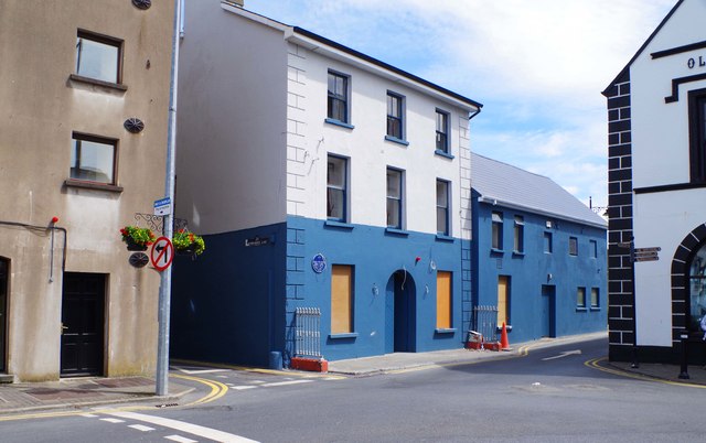 store/warehousestore/warehouse · 76 yd
 Structure in DungarvanStructure · 157 yd
 Waterford County MuseumMuseum · 242 yd
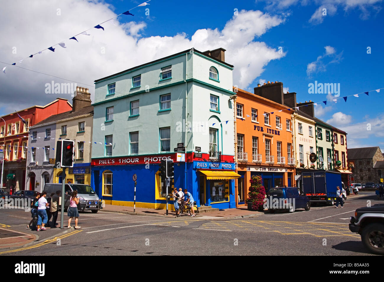 Town defences in DungarvanTown defences · 298 yd
 Grattan SquareVisitor information · 349 yd
 Castle (in ruins)Castle, tower house · 441 yd
 Cunnigar PointHeadland · 651 yd
 Horse-chestnutHorse-chestnut · 2.1 mi
 Master McGrathMemorial · 2.8 mi
Other information
Photo: Audrius Janecka · CC BY-SA 4.0