What is recorded here
In tillage. Identified as a cropmark on satellite imagery (Google Earth Pro, imagery date 13 August 2015). The cropmark highlights the fosse of a roughly circular enclosure (diam. c. 28m) which appears to have a wide entrance (Wth c. 7m) in the SSW sector. A modern field boundary runs E-W across the northern portion of the enclosure. Another enclosure (KK019-118-----) lies c. 300m to the WSW.
See attached:
KK019-141----_01 Google Earth Pro satellite imagery, 13 August 2015
Compiled by: Jean Farrelly
Date of upload: 21 October 2020
The monument record does not grant public access. Check the route and ask the landowner before entering private land.
- What survives
- Recorded monument
Places near here
 Enclosure in WarringtonEnclosure · 362 yd
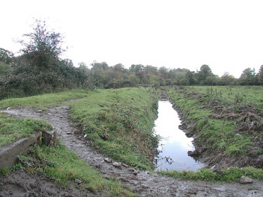 canal (section of)canal (section of) · 828 yd
 Inch Saw Millsmill (water) · 1035 yd
 Enclosure in FurzehouseEnclosure · 1289 yd
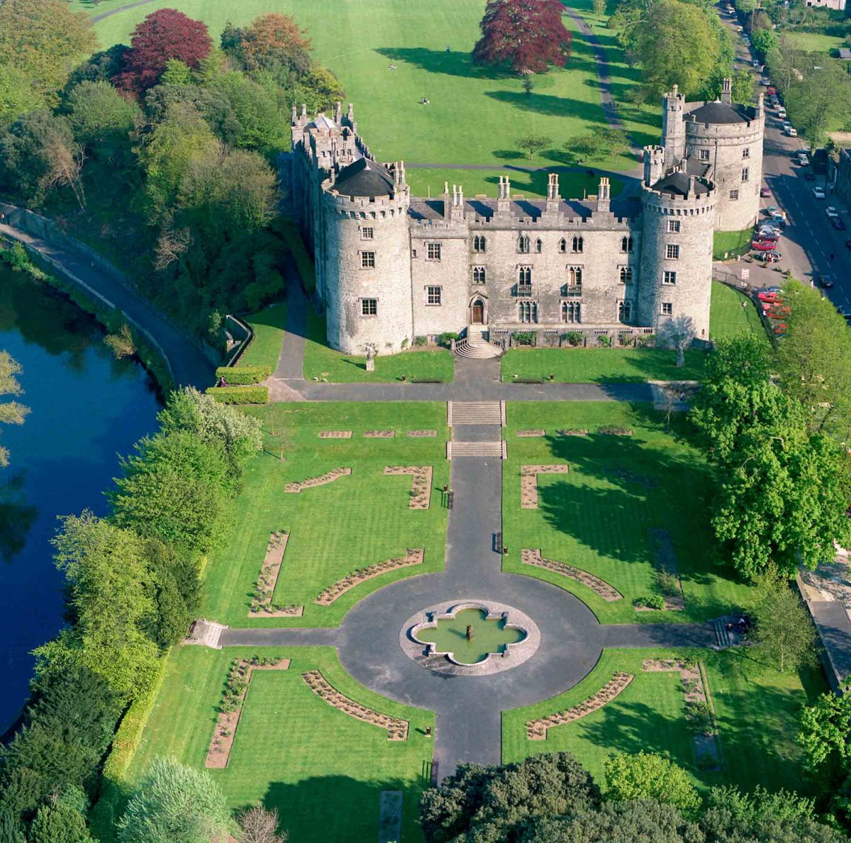 Site of Lavistown CastleCastle, unclassified · 1519 yd
 Ivan PowerMemorial · 1.2 mi
 Michael CarthyMemorial · 1.3 mi
 Kilkenny Castle ParkVisitor information · 1.9 mi
 WelcomeVisitor information · 1.9 mi
 Dunbell Big RingfortWood · 2.1 mi
 Grace's Old CastleCastle · 2.3 mi
 Smithwick's Brewery ExperienceHeritage attraction · 2.3 mi
Other information
Photo: Credit not shown in the picture search · Rights wording not checked; contact us if this picture should be removed