
What is recorded here
Indicated on the 1st (1839-40) ed. OS 6-inch map as a roughly square enclosure (dims. c. 40m NNE-SSW and ESE-WNW) with a field boundary running N-S immediately outside the W side, it appears to have kinked out to avoid the monument. The enclosure is not indicated on the 1945-6 revision of the 6-inch map, suggesting the monument had been levelled between 1840 and 1945. It is not visible on satellite imagery.
Compiled by: Jean Farrelly
Date of upload: 6 October 2020
The monument record does not grant public access. Check the route and ask the landowner before entering private land.
- What survives
- Recorded monument
Places near here
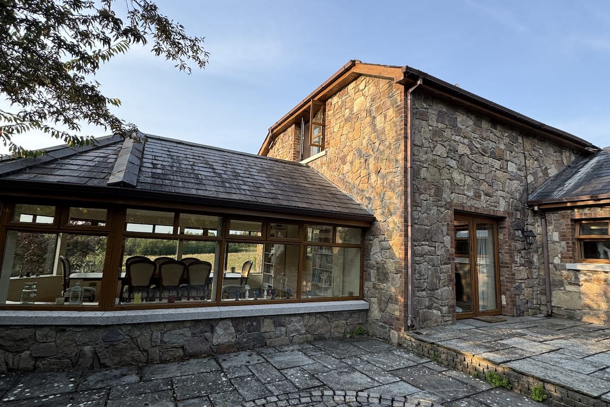 Enclosure in Furzehouse,wallsloughEnclosure · 1058 yd
 Enclosure in OutrathEnclosure · 1142 yd
 Kilkenny AirsoftHeritage attraction · 1355 yd
 Kilfera Housecountry house · 1581 yd
 Sheastown Housegates/railings/walls · 1675 yd
 Ivan PowerMemorial · 1.6 mi
 Michael CarthyMemorial · 1.6 mi
 Castle (in ruins)Castle, unclassified · 1.6 mi
 Dunbell Big RingfortWood · 2.0 mi
 WelcomeVisitor information · 2.1 mi
 HedgerowVisitor information · 2.1 mi
 HawthornHawthorn · 2.1 mi
Other information
Photo: Credit not shown in the picture search · Rights wording not checked; contact us if this picture should be removed