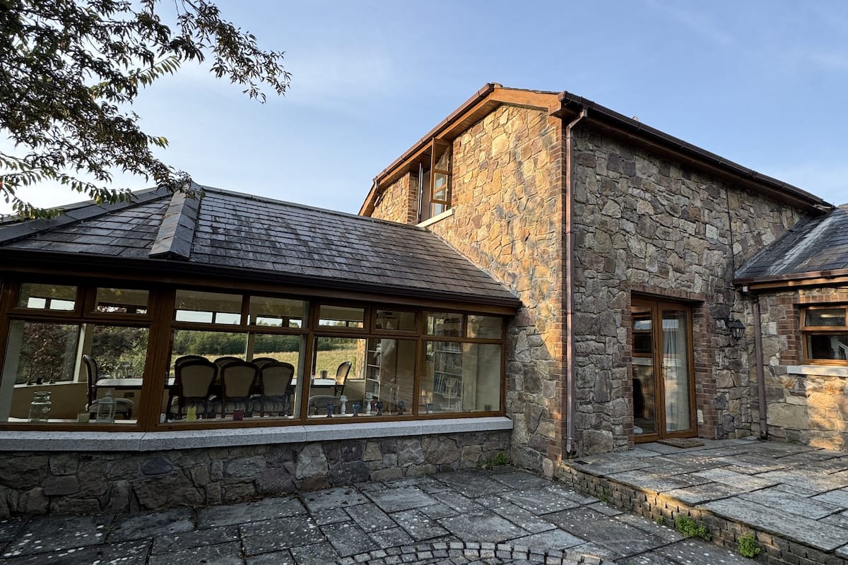
What is recorded here
A sub-circular enclosure (diam. c. 55m) identified as the cropmark of a fosse on an aerial photograph (GB96.FW.09; 20 July 1996). Two curving fosses extend from the enclosure to the NW and S, suggesting an associated field system (KK023-131----).
See attached:
KK023-130----_01 aerial photograph (GB96.FW.09; 20 July 1996)
Compiled by: Jean Farrelly and Dr. Gillian Barrett for the Archaeological Survey of Ireland
Date of revised upload: 13 September 2021
The monument record does not grant public access. Check the route and ask the landowner before entering private land.
- What survives
- Recorded monument
Places near here
 Enclosure in FurzehouseEnclosure · 476 yd
 IndicatedEnclosure · 566 yd
 Kilkenny AirsoftHeritage attraction · 1167 yd
 Sheastown Housegates/railings/walls · 1690 yd
 Castle (in ruins)Castle, unclassified · 1.2 mi
 Church in Kilree (knocktopher By.)Church · 1.2 mi
 Jamie BroderickMemorial · 1.7 mi
 HawthornHawthorn · 1.8 mi
 Dunbell Big RingfortWood · 2.0 mi
 Ivan PowerMemorial · 2.0 mi
 Castle BamfordCastle, tower house · 2.1 mi
 The FordVisitor information · 2.5 mi
Other information
Photo: Credit not shown in the picture search · Rights wording not checked; contact us if this picture should be removed