What is recorded here
Indicated is a grassy fairy fort on a Meath knoll, its south edge chopped away for stone before trees claimed the rest. It faced Walterstown House across open ground, waiting to be seen or forgotten. The missing quadrant suggests human hands took what they needed, leaving the circle broken but still standing.
Located on a knoll at the bottom of a NW-facing slope, it would have been in full view of Walterstown House c. 150m to the W before farm buildings intervened. It is depicted as a tree-ring on the 1836 and 1912 editions of the OS 6-inch map. This is a raised and grass-covered platform (diam. 39m NW-SE; 38m NE-SW) defined by a scarp (H 1.4m generally to 2.6m at S). The S quadrant was quarried away before the platform was planted with what are now mature deciduous trees. There is no indication of a fosse or entrance.
The above description is derived from the published 'Archaeological Inventory of County Meath' (Dublin: Stationery Office, 1987). In certain instances the entries have been revised and updated in the light of recent research.
Compiled by: Michael Moore
Date of revision: 5 February 2018
The monument record does not grant public access. Check the route and ask the landowner before entering private land.
- What survives
- Recorded monument
Places near here
 Garryard WoodWood · 444 yd
 Castle (in Ruins)Castle, unclassified · 513 yd
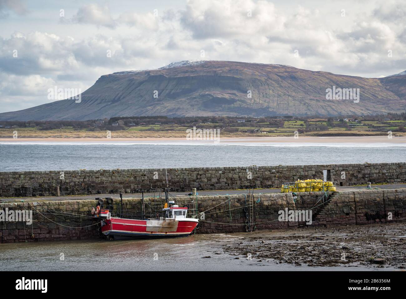 South Mullaghmore WoodWood · 606 yd
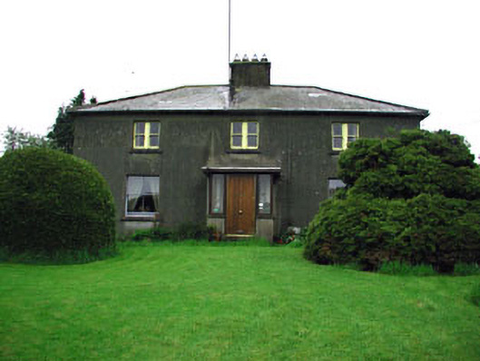 Woodlandsfarm house · 1419 yd
 Big RockPromontory fort, inland · 1485 yd
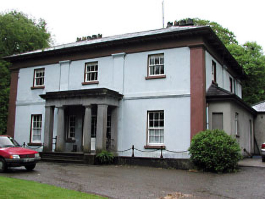 Moynalty Housecountry house · 1540 yd
 Reillystown FortArchaeological place · 1631 yd
 Moynalty Steam Threshing MuseumMuseum · 1.1 mi
 CastleCastle, motte · 1.2 mi
 UghtyneillMountain / peak · 1.5 mi
 NewtownMountain / peak · 1.7 mi
 Owenroe and Moynalty DrainageMemorial · 2.7 mi
Other information
Photo: Credit not shown in the picture search · Rights wording not checked; contact us if this picture should be removed