What is recorded here
Aerial photograph (GB89.AI.30) shows cropmark of a circular enclosure defined by a fosse.
The monument record does not grant public access. Check the route and ask the landowner before entering private land.
- What survives
- Recorded monument
Places near here
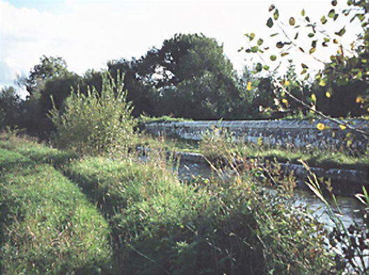 Grattan Aqueductaqueduct · 1153 yd
 Site of Kylemahoe ChurchChurch · 1501 yd
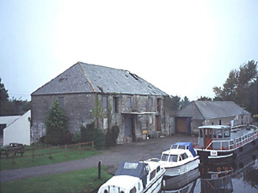 store/warehousestore/warehouse · 1506 yd
 DunrallyFairy fort / earthen ringfort · 1579 yd
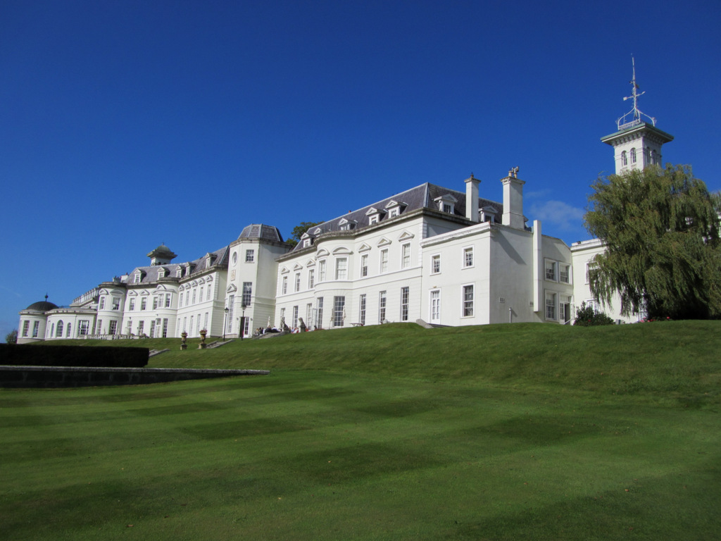 Cloney CastleCastle, unclassified · 1.4 mi
 Site of Ballymanus CastleCastle, unclassified · 1.7 mi
 Green's WoodForest · 3.4 mi
 Black WalnutBlack Walnut · 3.5 mi
 Beech Way WalkWalking route · 4.4 mi
 CEMETERYGraveyard · 4.5 mi
 Mass RockNamed rock · 4.6 mi
 Oughaval Wood MapVisitor information · 4.6 mi