
What is recorded here
Located on wet marshy land where the Glasha river runs into the River Barrow that is located to the SE of the monument. A circular area (diam. c. 42m) defined by an inner bank (Wth c. 6.2m, int. H c. 1.65m, ext. H c. 1.5m) best preserved at W, an intervening deep flat-bottomed fosse (Wth c. 7m) and an outer bank (Wth c. 5.5m, int. H c. 1.1m, ext. H c. 4.5m). Entrance visible at E. Remains of modern house in the E section of the interior. In the Annals of the Four Masters it is referred to under the date AD 860, when it records 'The Destruction of Longphort-Rathlailsh (the Fortress of Rothlaibh) by Dinnediadh, son of Gaithin, Lord of Leix, on the fifth of the Idea of September, and the Killing of Conall Ultach and Luirgnen, with many others along with them' (Comerford 1886, vol. 3, 376). In 1782 Henry Grattan purchased the estate of Moyanna from Lord Sydney Cosby and built a residence within the ringfort and planted gardens. During this period he built a circular walk on the elevated rampart of the fort (O'Hanlon and O'Leary, 1907, vol. 1, 291-293).
In 1782 Henry Grattan purchased the estate of Moyanna from Lord Sydney Cosby. Hhe built within the ringfort of Dunrally a residence and planted gardens. During this period he built a circular walk on the elevated rampart of the fort (O'Hanlon and O'Leary, 1907, vol. 1, 291-293). A bi-vallate circular ringfort (Diam. c. 42m) defined by inner bank (W. c. 6.2m, int. H. c. 1.65m), ext. H. c. 1.5m) best preserved at the West and outer bank (W. c. 5.55m, ext. H. c. 4.5m, int. H. c. 1.1m) with intervenning deep flat bottomed fosse (W. c. 7m) which fills with water to become a deep moat. Causewayed entrance visible at the East. Remains of modern house in the Eastern section of the interior. Located on wet marshy land where the Glasha river runs into the River Barrow that is located to the SE of the monument.
The above description is derived from the published 'Archaeological Inventory of County Laois' (Dublin Stationery Office, 1995) compiled by P. David Sweetman, Olive Alcock and Bernie Moran. In certain instances the entries have been revised and updated in the light of recent research.
Date of upload: 17 December 2007
A local fairy fort (ringfort/rath); wider significance not recorded.
The monument record does not grant public access. Check the route and ask the landowner before entering private land.
- What survives
- Recorded monument
Places near here
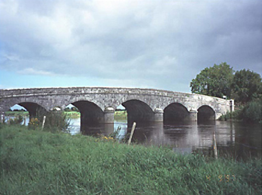 Dunrally Bridgebridge · 676 yd
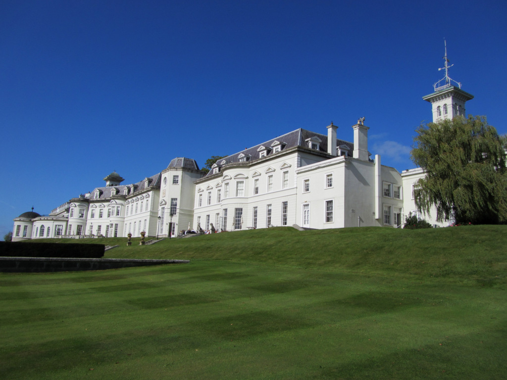 Cloney CastleCastle, unclassified · 1214 yd
 Church (in Ruins)Church · 1273 yd
 Enclosure in Vicarstown (dodd)Enclosure · 1505 yd
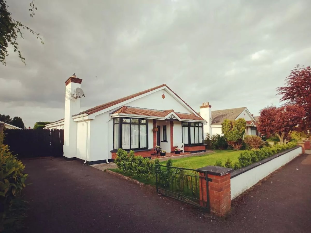 Enclosure in FisherstownEnclosure · 1.6 mi
 Site of Ballymanus CastleCastle, unclassified · 2.2 mi
 Green's WoodForest · 3.0 mi
 Dangan's WoodWood · 3.3 mi
 Beech Way WalkWalking route · 5.1 mi
 CEMETERYGraveyard · 5.2 mi
 Mass RockNamed rock · 5.2 mi
 Cobbler's Castle WalkWalking route · 5.3 mi
Other information
Photo: Credit not shown in the picture search · Rights wording not checked; contact us if this picture should be removed