What is recorded here
Marked as some type of enclosure on first edition of the OS 6-inch map but was probably a landscape feature such as an ornamental pond. No longer visible above ground. May have been an enclosure of archaeological importance that was converted into an ornamental pond.
The above description is derived from the published 'Archaeological Inventory of County Offaly' (Dublin: Stationery Office, 1997). In certain instances the entries have been revised and updated in the light of recent research.
Date of upload: 23 May 2011
The monument record does not grant public access. Check the route and ask the landowner before entering private land.
- What survives
- Recorded monument
Places near here
 Enclosure in UrneyEnclosure · 418 yd
 Church (Site of) GraveyardChurch · 582 yd
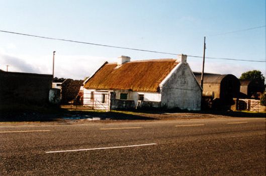 farm housefarm house · 621 yd
 Saint Mary's Catholic Churchchurch/chapel · 804 yd
 Raheen Castle in ruinsCastle, unclassified · 1122 yd
 Raheen Castle (site of)Archaeological place · 1160 yd
 Ghaugher HillMountain / peak · 1.8 mi
 The Lord's WellSpring · 1.8 mi
 Father BurbageMemorial · 2.3 mi
 Geashill Glebe WalkVisitor information · 2.3 mi
 Furzehill WoodWood · 2.7 mi
 Spa WellSpring · 3.6 mi