What is recorded here
Burial Ground stood on good sloping land above the Foyle valley until destruction removed it about the turn of the century. A nearby farmer later found features resembling cists in his farmyard, suggesting the dead may have scattered into ordinary life rather than vanished entirely. The place is gone, but its shadow remains in the memory of the land and the stories told beside it.
Marked as a burial ground on the 1st and 2nd editions of the OS 6-inch maps, it was destroyed about the turn of the century. A local farmer described finding a number of features which sounded like 'cists' in his farmyard nearby. The site is located on very good land sloping slightly to the N and E, giving excellent views along the Foyle valley.
The above description was derived from the 'Archaeological Survey of County Donegal. A description of the field antiquities of the County from the Mesolithic Period to the 17th century.' Compiled by: Brian Lacey with Eamon Cody, Claire Cotter, Judy Cuppage, Noel Dunne, Vincent Hurley, Celie O'Rahilly, Paul Walsh and Seán Ó Nualláin (Lifford: Donegal County Council, 1983). In certain instances the entries have been revised and updated.
Date of upload: 22 September 2008
A Neolithic or early Bronze Age cist burial site, likely dating to 2500–1000 BCE. Its significance lies in the potential for understanding early funerary practices and settlement patterns in the region, though most evidence has been lost to modern development.
This remains an important historical record, but the official description says the monument is no longer visible or has been destroyed. The monument record does not grant public access. Check the route and ask the landowner before entering private land.
- What survives
- No visible remains or recorded as destroyed
Places near here
 Former Saintjohnstown EnclosureEnclosure · 1596 yd
 Mongavlin CastleHouse, fortified house · 1699 yd
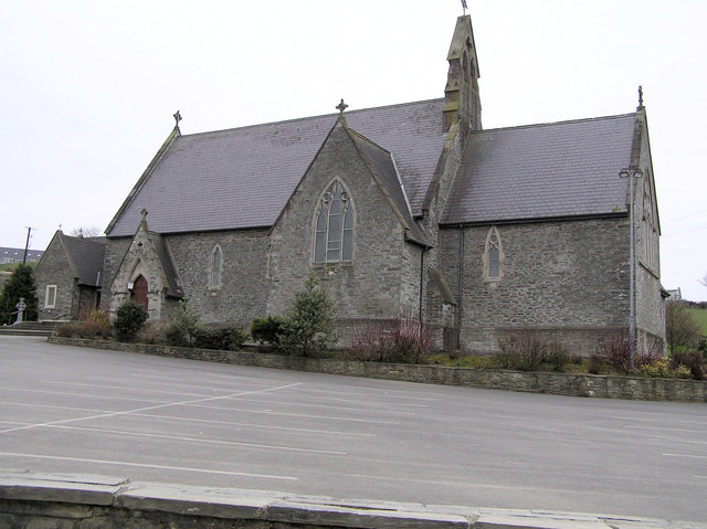 St. Baithin’s Catholic Churchchurch/chapel · 1.0 mi
 Castletown Oldfarm house · 1.0 mi
 Enclosure in DrumenanEnclosure · 1.3 mi
 CastleCastle, unclassified · 2.5 mi
 Gortmonly HillMountain / peak · 2.9 mi
 BATTLE SITE: BATTLE OF THE FORDS, Northern crossing, 1689 in Ballydonaghy; Greenlaw; LeckpatrickBATTLE SITE: BATTLE OF THE FORDS, Northern crossing, 1689 · 3.0 mi
 Feddyglass WoodWood · 3.9 mi
 Prehen WoodsForest · 6.3 mi
 Mongorry HillMountain / peak · 6.8 mi
 Grianán of AileachFairy fort / stone ringfort · 7.4 mi