What is recorded here
In a description of the boundaries enclosing the parish of Clonoulty in the Civil Survey (1654-6) there is a reference to 'the old Casseway called Cloghanarrnane' (Simington 1934, vol. 2, 360-6-) which may be a togher. This possible togher is unlocated within the parish of Clonoulty, though based on the description of the area in the Civil Survey it may be within Clonoulty Churchquarter townland.
Compiled by: Jean Farrelly
Date of upload: 26 August 2011
The monument record does not grant public access. Check the route and ask the landowner before entering private land.
- What survives
- Recorded monument
Places near here
 CastleCastle, unclassified · 342 yd
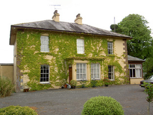 Ballymore Housecountry house · 411 yd
 IndicatedEnclosure · 703 yd
 Church (In Ruins)Church · 1096 yd
 Ballagh CastleCastle · 1.0 mi
 Parknamoe FortFairy fort / earthen ringfort · 1.2 mi
 Wych ElmWych Elm · 2.2 mi
 Woodcock GroveWood · 2.5 mi
 Hore AbbeyHeritage attraction · 4.8 mi
 Rock of CashelHeritage attraction · 4.9 mi
 The Rock Of CashelVisitor information · 4.9 mi
 Ballyknock HillMountain / peak · 5.0 mi