
What is recorded here
In flat grassland with good views in all directions, nearby ringforts (TS052-022----/TS052-025----) 170m to N and 310m to SE respectively. No surface remains visible, modern road constructed in the 1950s went through the monument on an E-W axis destroying the N half of the monument. Depicted as a large circular enclosure (approx. diam. 40m N-S) on first edition OS 6-inch map but as a semi-circular enclosure on 1903 edition OS 6-inch map. Monument may have been partially levelled between 1840 and 1903.
Compiled by: Jean Farrelly
Date of upload: 26 August 2011
A local fairy fort (ringfort/rath); wider significance not recorded.
The monument record does not grant public access. Check the route and ask the landowner before entering private land.
- What survives
- Recorded monument
Places near here
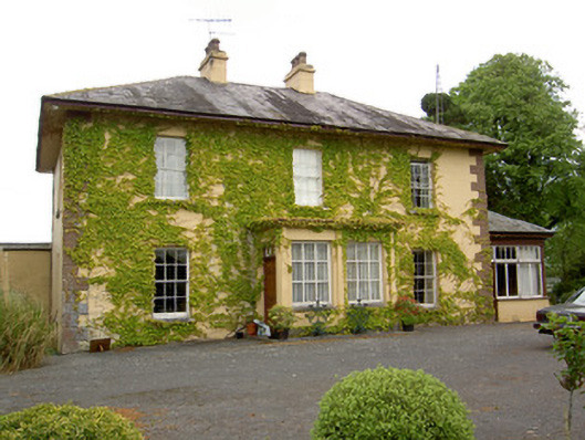 Ballymore Housecountry house · 628 yd
 CastleCastle, unclassified · 1004 yd
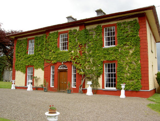 Woodford Househouse · 1515 yd
 Ballagh CastleCastle · 1.2 mi
 ShanspaurArchaeological place · 1.4 mi
 Parknamoe FortFairy fort / earthen ringfort · 1.5 mi
 Wych ElmWych Elm · 2.5 mi
 Woodcock GroveWood · 2.9 mi
 Hore AbbeyHeritage attraction · 4.8 mi
 Rock of CashelHeritage attraction · 4.9 mi
 Ballyknock HillMountain / peak · 4.9 mi
 The Rock Of CashelVisitor information · 5.0 mi
Other information
Photo: Credit not shown in the picture search · Rights wording not checked; contact us if this picture should be removed