What is recorded here
The original provenance of this ogham stone is not recorded. It stood in Graves' garden at Parknasilla House for many years prior to being presented to the National Museum of Ireland (Reg. No. 1931: 432; see DU018-365----). It measures 1.1m x 0.3m x 0.18m, and is inscribed on one of its obtuse angles. The worn and damaged inscription was read by Macalister (1945, 217) as: ANM VINNAGITLET . . . He was not, however, entirely convinced of this reading. The E is represented by the forfid.
The above description is derived from O'Sullivan, A. and Sheehan, J. 1996 The Iveragh peninsula: an archaeological survey of South Kerry. Cork University Press, 245, No. 920.
This stone has been studied as part of the ‘Ogham in 3D’ project undertaken by the School of Celtic Studies, Dublin Institute for Advanced Studies. To access details go to the following website:
http://ogham.celt.dias.ie/search.php?ciic=223
Updated by: Paul Walsh
Revised date of upload: 6 January 2015
The monument record does not grant public access. Check the route and ask the landowner before entering private land.
- What survives
- Recorded monument
Places near here
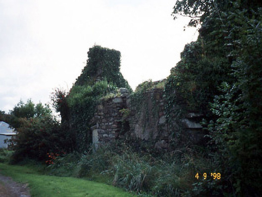 Tahilla Catholic Chapelchurch/chapel · 709 yd
 Indicated (1895-6).Enclosure · 977 yd
 BallynahaglishEcclesiastical enclosure · 1229 yd
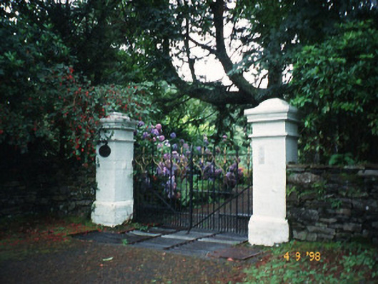 Glashnacree Househouse · 1.1 mi
 Rossmore IslandIsland · 1.2 mi
 Rossdohan IslandIsland · 2.2 mi
 Sneem Commemoration PlaqueMemorial · 3.1 mi
 De Gaulle MemorialMonument · 3.3 mi
 KnockateeMountain / peak · 3.6 mi
 Lackeen PointHeadland · 4.0 mi
 Habitat of DerreeniesNature reserve · 4.3 mi
 Soft Tree-fernSoft Tree-fern · 4.3 mi