
What is recorded here
Extensive complex of outbuildings, built c.1760, associated with Turbotstown House (15400330). Comprises two separate L-shaped ranges with ancillary structures. Pitched natural slate roofs with projecting eaves courses. Dressed limestone bellcote to the east corner of the northern range with circular window opening to gable. Roughcast rendered over rubble stone construction. Square-headed openings, some having dressed limestone block-and-start surrounds, with remains of sash windows and timber sheeted doors. Rubble limestone boundary walls to site and the remains of a walled garden to the west. Located to the rear and to the southwest of Turbotstown House and to the north of Coole Village.
A substantial and well-built complex of outbuildings and ancillary structures associated with Turbotstown House (15400330). They retain their early form and character despite numerous alterations throughout the years. The form and detailing to a number of these buildings, suggests that they were built in the mid-eighteenth century, predating the existing Turbotstown House. This interesting complex forms part of an important group of associated structures and provides and provides an insight into the extensive resources required to run and maintain a large country demesne during the eighteenth and nineteenth centuries. The remains of the walled garden to the west completes the setting of this notable composition, which is an integral element of the built heritage of the north Westmeath area.
This does not grant access. Most recorded buildings are privately owned; view them only from public ground unless the owner allows entry.
Places near here
 Turbotstown Ho.Castle, unclassified · 61 yd
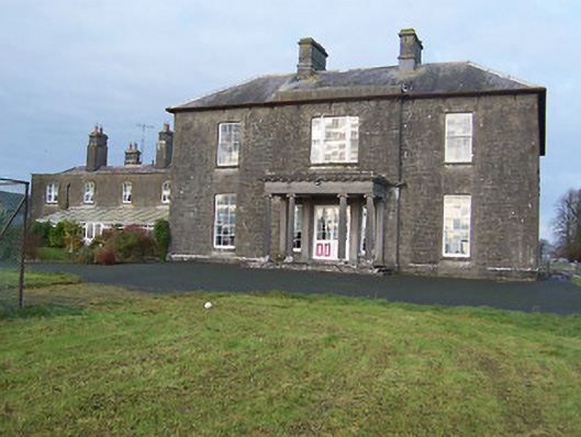 Turbotstown Housecountry house · 87 yd
 Partially hachuredFairy fort / earthen ringfort · 520 yd
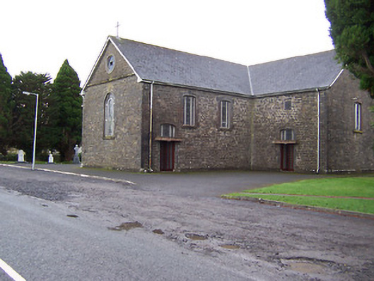 Catholic Church of the Immaculate Conceptionchurch/chapel · 662 yd
 Partially indicatedEnclosure · 1014 yd
 TowerCastle, tower house · 1.4 mi
 European BeechEuropean Beech · 1.9 mi
 Pedunculate OakPedunculate Oak · 2.0 mi
 Rock of CurryCliff · 2.4 mi
 Mullaghmeen ForestPicnic place · 4.8 mi
 Mullaghmeen White WalkWalking route · 4.8 mi
 Mullaghmeen Red WalkWalking route · 4.9 mi
Other information
Photo: National Inventory of Architectural Heritage · Website use allowed for educational or private purposes with source credit