
What is recorded here
A slight rise of ground marks the location of this levelled enclosure (approx. diam. 40m) which may have been a possible ringfort. Outline of levelled monument not visible today on Digital Globe aerial photographs.
Compiled by: Caimin O'Brien
Date of upload; 24 January 2020
A local fairy fort (ringfort/rath); wider significance not recorded.
The monument record does not grant public access. Check the route and ask the landowner before entering private land.
- What survives
- Recorded monument
Places near here
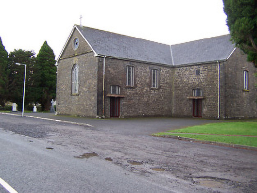 Catholic Church of the Immaculate Conceptionchurch/chapel · 357 yd
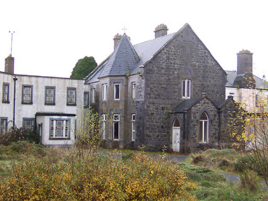 Saint Joseph's Hospitalconvent/nunnery · 439 yd
 Turbotstown Ho.Castle, unclassified · 564 yd
 Windmill (in Ruins)Windmill · 787 yd
 Ecclesiastical enclosure in MayneEcclesiastical enclosure · 1112 yd
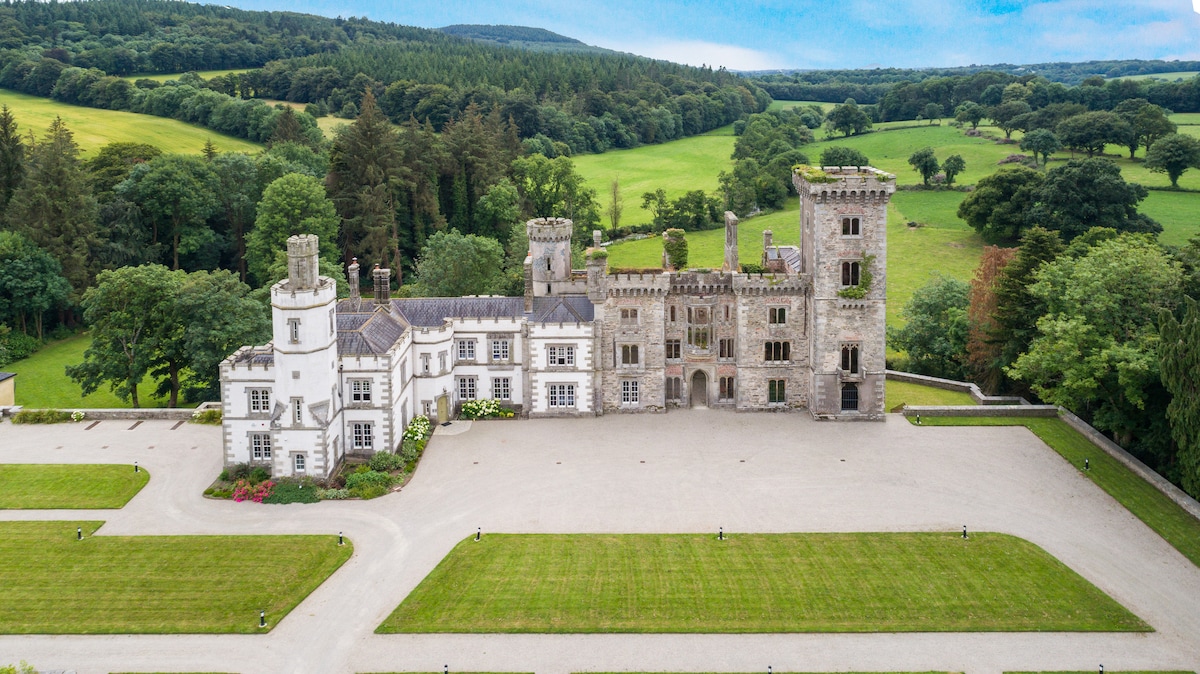 CastleCastle, tower house · 1.5 mi
 European BeechEuropean Beech · 1.9 mi
 Pedunculate OakPedunculate Oak · 2.0 mi
 Rock of CurryCliff · 2.7 mi
 Mullaghmeen ForestPicnic place · 5.1 mi
 Mullaghmeen White WalkWalking route · 5.1 mi
 Mullaghmeen Red WalkWalking route · 5.1 mi
Other information
Photo: Credit not shown in the picture search · Rights wording not checked; contact us if this picture should be removed