What is recorded here
Indicated is a fairy fort in County Limerick, Ireland, where a shallow scarped ring still marks the edge of an old human dwelling. The land slopes gently inside the circle, while a narrow external ditch lingers at the northeast, suggesting people once shaped the rise for shelter or claim. Local tradition calls such rings fairy forts, yet the measured earth and deliberate boundary point to ordinary living before mythology took the story.
Situated c. 10m E of a field boundary on a low rise in gently undulating pasture with good views in all directions. Indicated on the 1927 OS 6-inch map as a roughly circular enclosure (diam. c. 20m). Now evident as a sub circular area (17m N-S; 16.5m E-W) defined by a scarped edge (Wth 0.9m; H 0.1m). There is evidence of an external fosse (Wth 2.2m; D 0.1M) at NE. The interior is uneven and slopes gently down to NE.
Compiled by: Denis Power
Date of upload: 4 July 2013
The monument record does not grant public access. Check the route and ask the landowner before entering private land.
- What survives
- Recorded monument
Places near here
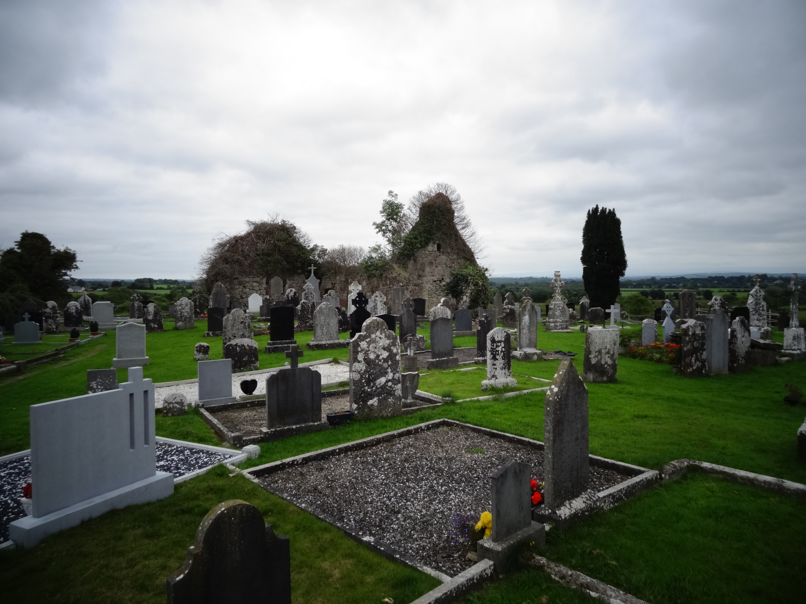 Grave YardGraveyard · 455 yd
 Tower HillCastle, unclassified · 718 yd
 Field system in Cunnagavale,dromalta,killuraghField system · 990 yd
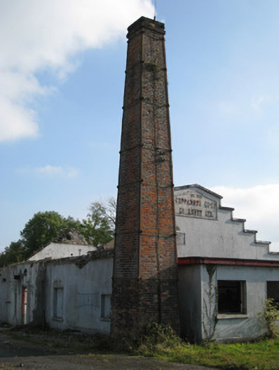 Cappamore Co-Operative Creamerycreamery, chimney · 1.0 mi
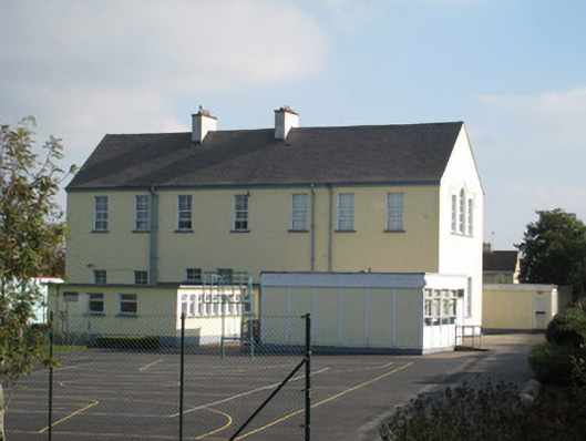 Convent of Mercyschool · 1.0 mi
 CastleCastle, unclassified · 1.2 mi
 ToberagaddySpring · 2.5 mi
 KnockseefinMountain / peak · 2.8 mi
 Graveyard in AbingtonGraveyard · 4.2 mi
 Sliev Felim WayVisitor information · 4.4 mi
 St. Patrick's WellSpring · 5.6 mi
 Oola HillMountain / peak · 6.0 mi