What is recorded here
Sweat House vanished beneath conifers on the east bank of a steep Leitrim valley, leaving no trace but a ghost line on a 1907 map. It sits ninety metres from abandoned farmhouses, hidden enough that forgetting became its shape. People may have breathed heat into that chamber before the trees closed over it, their bodies marking the soil long before surveyors drew it.
Located on the E bank of the steep valley of a N-S stream, and c. 90m and c. 160m NNW of two abandoned farmhouses. It is marked only on the 1907 edition of the OS 6-inch map. No feature is visible at ground level in a coniferous forest.
The above description is derived from 'The Archaeological Inventory of County Leitrim' compiled by Michael J. Moore (Dublin: Stationery Office, 2003). In certain instances the entries have been revised and updated in the light of recent research.
Date of upload: 23 September 2008
The monument record does not grant public access. Check the route and ask the landowner before entering private land.
- What survives
- Recorded monument
Places near here
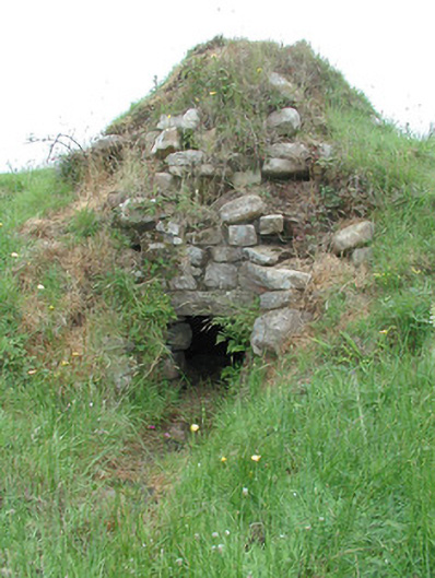 sweat housesweat house · 959 yd
 Sweat Ho.Sweathouse · 1666 yd
 The UltachsMemorial · 1.0 mi
 BencroyMountain / peak · 1.2 mi
 Sliabh an IarainnMountain / peak · 2.3 mi
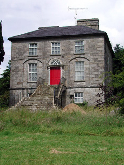 Aghacashel Housecountry house · 2.4 mi
 IndicatedEnclosure · 2.4 mi
 European ashEuropean ash · 2.4 mi
 Rocking StoneNamed rock · 3.3 mi
 Cromlin Bridge WoodWood · 3.4 mi
 Turf IslandIsland · 4.3 mi
 Crane IslandIslet · 4.4 mi