
What is recorded here
Situated on a steep E-facing slope and on the W bank of a N-S stream. It is marked only on the 1907 edition of the OS 6-inch map with a house c. 85m to the SW and a NE-SW road c. 60m to W. This is a subcircular conical mound (dims 3.5m N-S; 3.2m E-W; H 1.4m at W to 2.6m at E (downslope)) with an entrance at E, but the chamber and the entrance have collapsed and the chamber is inaccessible.
The above description is derived from 'The Archaeological Inventory of County Leitrim' compiled by Michael J. Moore (Dublin: Stationery Office, 2003). In certain instances the entries have been revised and updated in the light of recent research.
Date of upload: 23 September 2008
The monument record does not grant public access. Check the route and ask the landowner before entering private land.
- What survives
- Recorded monument
Places near here
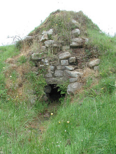 sweat housesweat house · 832 yd
 IndicatedEnclosure · 1.4 mi
 European ashEuropean ash · 1.4 mi
 The UltachsMemorial · 1.7 mi
 BencroyMountain / peak · 2.0 mi
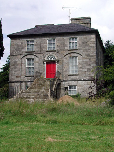 Aghacashel Housecountry house · 2.2 mi
 Cromlin Bridge WoodWood · 2.5 mi
 Bartonny TopMountain / peak · 2.6 mi
 Turf IslandIsland · 3.5 mi
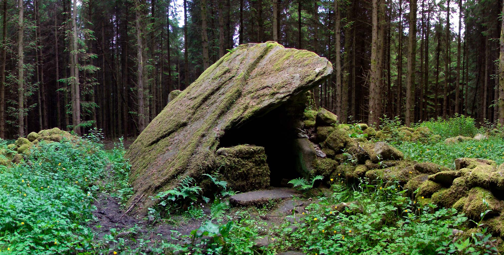 Druid's AltarArchaeological place · 3.6 mi
 Crane IslandIslet · 3.6 mi
 Rocking StoneNamed rock · 3.9 mi
Other information
Photo: Credit not shown in the picture search · Rights wording not checked; contact us if this picture should be removed