What is recorded here
Fairy fort / earthen ringfort in Tullyhogan is a fairy fort or earthen ringfort in Tullyhogan, County Westmeath, Ireland. This bivallate site sits on a slight rise in undulating pasture, offering good views from west through north to east while views to the south are restricted. A 1971 to 1978 survey described a subcircular area measuring 48.3 metres east to west and 46 metres north to south, enclosed by an inner bank, an intervening fosse, and an outer bank. The inner bank is low, while the fosse is wide, deep, and U-shaped, and the original entrance is not recognisable.
Situated on a slight rise, in undulating pasture, with good views from W-N-E and restricted to S. Bivallate ringfort described in 1971-8 as a subcircular-shaped area (dims. 48.3m E-W; 46m N-S) enclosed by a bank, an intervening fosse and an outer bank. The inner bank is low and the fosse is wide, deep and U-shaped. The low outer bank is best preserved from SW-W and has a gap at WSW. The outer bank has been incorporated into a field boundary from W-N-SSE. The original entrance is not recognisable. The interior has a gentle NE-facing slope and traces of cultivation ridges running NW-SE.
See attached profile of monument surveyed and drawn by ASI.
Compiled by Alison McQueen, Vera Rahilly and Caimin O’Brien.
Date of upload: 17 July 2019
The monument record does not grant public access. Check the route and ask the landowner before entering private land.
- What survives
- Recorded monument
Places near here
 OutlinedFairy fort / earthen ringfort · 607 yd
 Partially hachuredFairy fort / earthen ringfort · 796 yd
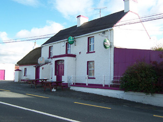 Three Jolly Pigeonshouse · 1597 yd
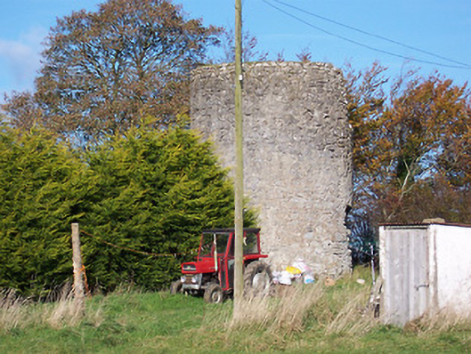 mill (wind)mill (wind) · 1724 yd
 Kilkenny CastleCastle · 1732 yd
 CastleCastle, motte and bailey · 1.1 mi
 Noughaval CemeteryArchaeological place · 1.9 mi
 European BeechEuropean Beech · 3.1 mi
 Killinure BayBay · 4.1 mi
 Leveret IslandIslet · 4.4 mi
 Temple's IslandIslet · 4.5 mi
 Traveen BayBay · 4.5 mi