What is recorded here
Standish, Tullycleave More, Donegal, Ireland: no visible stone remains, though the old survey marked one on the south slope of Tullycleave Hill. The hill is still there, clothed in gorse and exposed to weather, while the stone has either been buried, broken, removed or misread. What is lost is not the same as deception; it is a place that stopped answering one form of question.
There is now no trace of the standing stone marked on the 1st edition of the OS 6-inch map. It was located on the S slope of the gorse-covered Tullycleave Hill.
The above description was derived from the 'Archaeological Survey of County Donegal. A description of the field antiquities of the County from the Mesolithic Period to the 17th century.' Compiled by: Brian Lacey with Eamon Cody, Claire Cotter, Judy Cuppage, Noel Dunne, Vincent Hurley, Celie O'Rahilly, Paul Walsh and Seán Ó Nualláin (Lifford: Donegal County Council, 1983). In certain instances the entries have been revised and updated.
Date of upload: 22 September 2008
The monument record does not grant public access. Check the route and ask the landowner before entering private land.
- What survives
- Recorded monument
Places near here
 Owenea Bridgebridge · 986 yd
 Fionn Mc Cumhaill standing stonePublicly named standing stone · 1022 yd
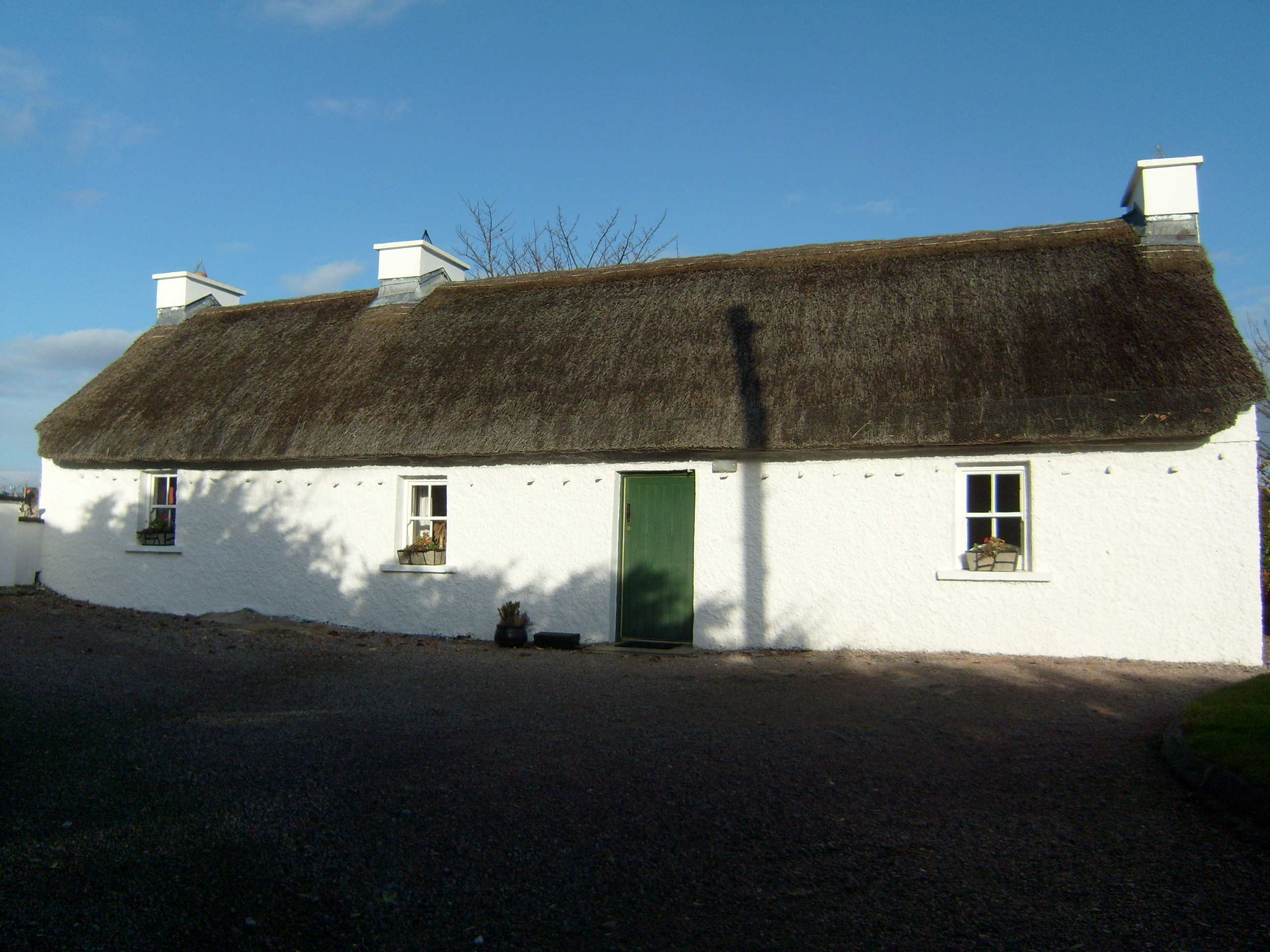 Beagh Cottagehouse · 1.3 mi
 Ardara FortFairy fort / earthen ringfort · 1.3 mi
 John DohertyMemorial · 1.4 mi
 Carrickalahagh HeadlandPublicly named cliff or headland · 3.1 mi
 IllancreeveIslet · 3.3 mi
 Bonny Glen Wood - Bonny Glen walkOfficial walking route · 3.5 mi
 Bonny Glen WoodForest recreation place · 3.5 mi
 Tramore StrandBeach / strand · 3.6 mi
 Doon FortFairy fort / stone ringfort · 3.7 mi
 CastleRuins · 4.0 mi