What is recorded here
Fairy fort in Tully, County Longford: a ringfort hidden beneath pasture on a hillock, marked only on the 1837 map. It may have been a dwelling, a boundary marker, or a child's climbing hill before becoming a fairy tale. The earth kept its shape long after people stopped naming it.
On a hillock in moderately drained pasture. Depicted as a circular enclosure with the designation 'Fort' on the 1837 ed. of the OS 6-inch map. The monument is not visible at ground level.
Compiled by: Patrick F. O'Donovan
Date of upload: 26 August 2011
The monument record does not grant public access. Check the route and ask the landowner before entering private land.
- What survives
- Recorded monument
Places near here
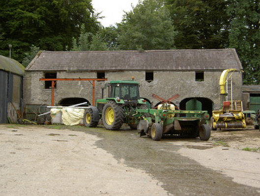 Tully Houseoutbuilding · 342 yd
 Church in Glebe (ardagh By., Foxhall Ed)Church · 671 yd
 Chapel (Site of)Chapel · 1126 yd
 Lady WellHoly well · 1153 yd
 CastleCastle, motte · 1.5 mi
 Pedunculate OakPedunculate Oak · 1.5 mi
 Common AlderCommon Alder · 1.9 mi
 Not locatedCastle, unclassified · 2.7 mi
 Abbeyshrule AbbeyRuins · 3.3 mi
 Goldsmith Birthplace, PallasVisitor information · 4.5 mi
 National Famine WayWalking route · 4.7 mi
 Newcastle WoodsForest · 4.9 mi