What is recorded here
Denis Power documented the Tulligmacthomas ringfort in 2011, revealing a sub-circular earthwork perched on a north-facing slope above the River Deel. The site measures twenty-five metres across, bounded by a ninety-centimetre bank and a two-metre-wide fosse, though a modern drain has cut through its southern edge. Dense vegetation now swallows the interior completely, hiding whatever domestic life or defensive purpose the original builders intended. The fort remains a quiet ghost in the pasture, its human history buried beneath generations of unchecked growth.
In pasture, on N-facing slope overlooking River Deel. Sub-circular area (diam. 25m) enclosed by earthen bank (ext. H 0.9m) with an external fosse (D 0.35m; Wth 2m). Enclosing element is truncated by field boundary and drain SE->SW. Most of enclosing element and all of interior is covered by dense overgrowth.
Compiled by: Denis Power
Date of upload: 26 August 2011
The monument record does not grant public access. Check the route and ask the landowner before entering private land.
- What survives
- Recorded monument
Places near here
 Fairy fort / earthen ringfort in AhaveheenFairy fort / earthen ringfort · 342 yd
 Moated site in AhaveheenMoated site · 768 yd
 ToberhoranSpring · 1179 yd
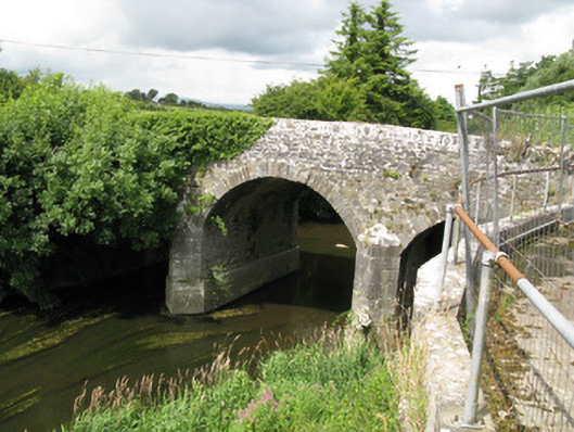 Broken Bridgebridge · 1.4 mi
 CastleCastle, unclassified · 1.5 mi
 ToberacappeenSpring · 1.6 mi
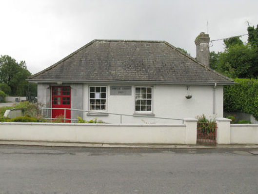 Feenagh Carnegie Librarylibrary/archive · 1.7 mi
 Castle (in ruins), Springfield CastleCastle, tower house · 2.5 mi
 National Co-op MuseumMuseum · 2.7 mi
 Ballagh MountainMountain / peak · 7.0 mi
 Mullaghareirk - Banane LoopWalking route · 7.3 mi
 Battle of LiscarrollMajor battlefield · 9.4 mi