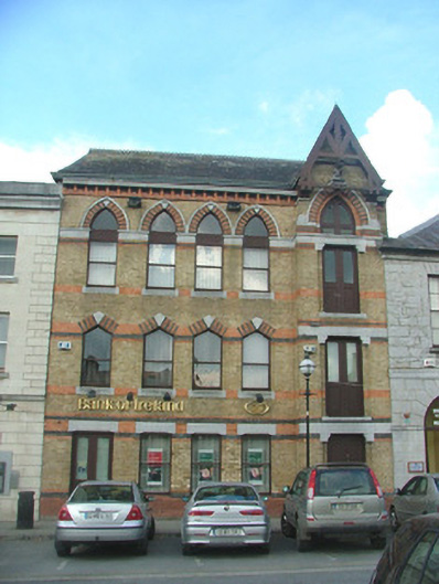
What is recorded here
Terraced five-bay three-storey former agricultural supplier's outlet, built c.1870, with gable-fronted projecting bay. Fronts directly onto O'Connor Square. Now used as a bank. Pitched slate roof with terracotta ridge cresting, tooled stone eaves course and bargeboards to projecting bay. Yellow brick walls with red and brown brick string course. Pointed-arched window to first and second floors with square-headed windows to ground floor. Triangular-headed and pointed-arched brick openings to first and second floor windows with limestone lintels to ground floor and limestone sills to upper floors, all with timber windows. Square-headed door openings with limestone lintels and double timber and glazed doors. Hoist to roof level of projecting bay.
Used as a bank, this highly ornate building boasts a wonderful use of multi-coloured brickwork. A photograph of the square taken c.1900 shows fasia boards to the ground and first floors with lettering reading: 'Manure & Seeds, Farm Implements'. Constructed during the nineteenth century, the structure is very decorative, availing of contemporary materials and design styles. Its gabled bay with hoist and multi-levelled doorways indicate that the structure was possibly used to store grain on upper levels, and was likely built as a granary. The varying use of brick and limestone creates textural variation in the building, giving it an enormity of character and individuality.
This does not grant access. Most recorded buildings are privately owned; view them only from public ground unless the owner allows entry.
Places near here
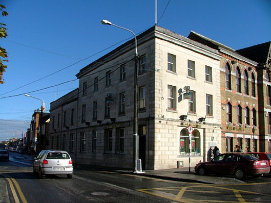 Bank of Irelandbank/financial institution · 9 yd
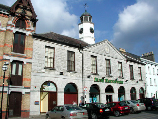 market housemarket house · 19 yd
 Bawn in BallydrohidBawn · 1226 yd
 Srah CastleRuins · 1239 yd
 Grand Canal WayWalking route · 1278 yd
 Field system in Ballydrohid,ballynagh,srah (ballycowan By.)Field system · 1358 yd
 Enclosure in Ballydrohid,ballynagh,srah (ballycowan By.)Enclosure · 1444 yd
 Pedunculate OakPedunculate Oak · 1.1 mi
 Charleville ForestWood · 1.4 mi
 Christ's WellSpring · 1.7 mi
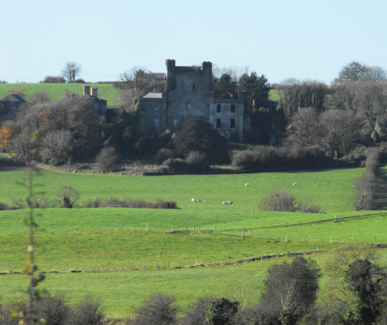 St O'Hara's HillMountain / peak · 2.2 mi
 Sugar HillMountain / peak · 3.0 mi
Other information
Photo: National Inventory of Architectural Heritage · Website use allowed for educational or private purposes with source credit