
What is recorded here
No surface remains visible of field systems which show up on aerial photographs (OSO 1981, 3011067) in the vicinity of Srah tower house (OF017-006001-).
Testing was undertaken under licence no. 04E0540 adjacent to the archaeological constraint zone surrounding Srah Castle and earthworks, in advance of infrastructural developments. The excavation did not uncover any archaeological feature or find (Excavations Bulletin 2004).
Rose M. Cleary, Department of Archaeology, University College Cork.
The above description is derived from the published 'Archaeological Inventory of County Offaly' (Dublin: Stationery Office, 1997). In certain instances the entries have been revised and updated in the light of recent research.
Date of upload: 23 April 2009
The monument record does not grant public access. Check the route and ask the landowner before entering private land.
- What survives
- Recorded monument
Places near here
 Enclosure in Ballydrohid,ballynagh,srah (ballycowan By.)Enclosure · 349 yd
 Srah CastleRuins · 355 yd
 Bawn in BallydrohidBawn · 361 yd
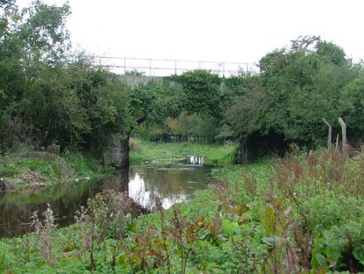 bridgebridge · 495 yd
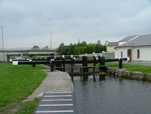 28th Locklock · 623 yd
 Pedunculate OakPedunculate Oak · 929 yd
 Charleville ForestWood · 1319 yd
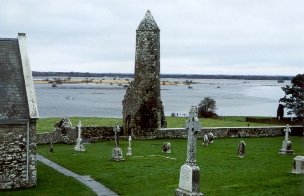 SkeaghacrogheryRitual site, holy tree/bush · 1668 yd
 Christ's WellSpring · 1713 yd
 Grand Canal WayWalking route · 1.5 mi
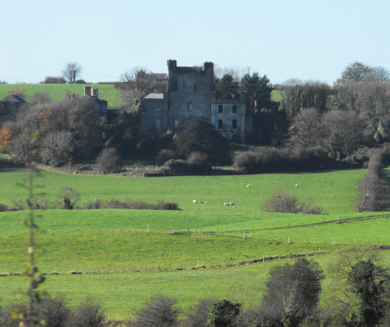 St O'Hara's HillMountain / peak · 1.9 mi
 Sugar HillMountain / peak · 2.4 mi
Other information
Photo: Credit not shown in the picture search · Rights wording not checked; contact us if this picture should be removed