What is recorded here
Levelled enclosure surveyed in 1987 by the Castleisland District Archaeological Survey and described as follows; 'on open pastureland sloping down to the north-east and overlooking in that direction a narrow stream which is running in a southerly direction. The land is open pastureland with all fences removed. There is no surface evidence of the enclosure'.
Compiled by: Caimin O'Brien
Date of upload: 5 April 2022
The monument record does not grant public access. Check the route and ask the landowner before entering private land.
- What survives
- Recorded monument
Places near here
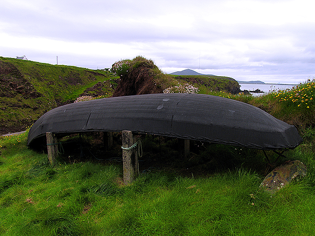 Enclosure in Dooneen (trughanacmy By.)Enclosure · 1519 yd
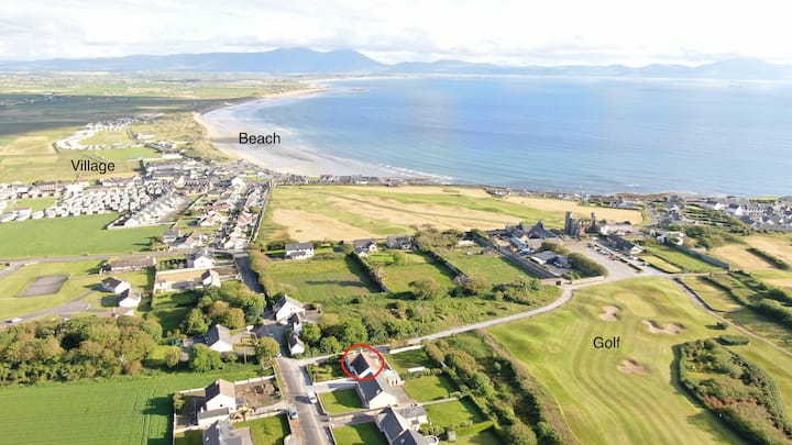 Fulacht fia in AhaneboyFulacht fia · 1.0 mi
 Church in GlanshearoonChurch · 1.5 mi
 Crag CaveCave · 1.6 mi
 Kilbannivane Church (in ruins)Church · 2.0 mi
 Castle (in ruins)Castle, Anglo-Norman masonry castle · 2.3 mi
 (Site of) Desmond CastleCastle, unclassified · 2.5 mi
 PouldermotCave · 5.8 mi
 Stack's MountainMountain / peak · 6.1 mi
 CruslineMountain / peak · 7.0 mi
 Common AlderCommon Alder · 7.2 mi
 Kilflynn Nature ReserveNature reserve · 8.9 mi