What is recorded here
Ring-ditch in Tulach Chonóg is a small summit enclosure in County Meath, preserved mainly as a cropmark beside a larger rath. Its six-metre circle and wide ditch suggest a deliberate boundary on open ground, perhaps marking a household, a shrine or a excluded corner of the hill. The southern loss and surrounding field drains remind us that the place has been lived on, changed and only partly remembered.
Located on the summit of a broad hill. The cropmark of a small enclosure (int. diam. c. 6m) defined by a wide fosse (Wth c. 2m) is visible on Google Earth (29/06/2018; 14/07/2019). The perimeter at S is destroyed by a pit and the ring-ditch is within a small enclosure (dims c. 30m N-S; c. 30m E-W) connected by relict field drains to the perimeter of rath (ME050-050001-) c. 45m to the SSE. It was first reported by Jean Charles Caillere.
See the attached image from Google Earth 14/07/2018
Compiled by: Michael Moore
Date of upload: 5 June 2019
The monument record does not grant public access. Check the route and ask the landowner before entering private land.
- What survives
- Recorded monument
Places near here
 Not idicaetedFairy fort / earthen ringfort · 87 yd
 Church (in Ruins)Church · 581 yd
 Enclosure in Tulach ChonógEnclosure · 1754 yd
 Moymet CastleCastle, tower house · 1.8 mi
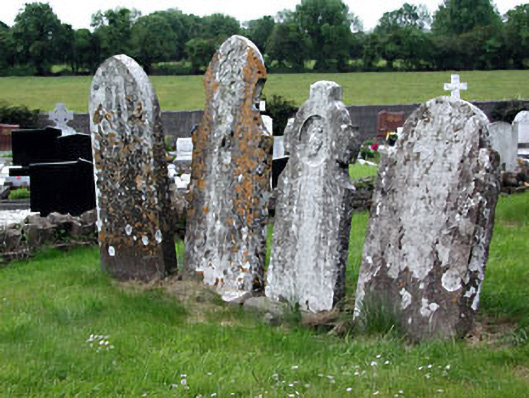 Saint Dympna's Cemeterygraveyard/cemetery · 2.3 mi
 Fraine CastleCastle, tower house · 2.9 mi
 FraineMountain / peak · 3.1 mi
 JamestownMountain / peak · 3.5 mi
 The New Line RoadMemorial · 5.0 mi
 FarmaphobiaHeritage attraction · 5.1 mi
 Causey FarmHeritage attraction · 5.2 mi
 Laurelberry WoodWood · 5.4 mi