What is recorded here
No visible fort remains in the Trostan pasture, though a 35m embanked circle appeared on an 1834 map beside Spring Lough. The missing earth may have been taken for fields, or the drawing may have recorded a boundary now forgotten. Either way the place keeps its shape in loss: a room large enough to hold people, animals and weather, now returned to grass.
Situated in a col between drumlins, the summits of which are c. 220m to the SE and c. 600m to the NW, and it is also overlooking the S end of the triangular Spring Lough (dims c. 540m NNE-SSW; 275m NW-SE at SW) which is c. 150m to the NE. It is depicted as an embanked enclosure (ext. diam. c. 35m) described as a ‘fort’ in gothic lettering only on the 1834 edition of the OS 6-inch map. No archaeological feature is visible at ground level in pasture. The rath (MO031-043----) is c. 200m to the SE.
The above description is derived from the published 'Archaeological Inventory of County Monaghan' (Dublin: Stationery Office, 1986). In certain instances the entries have been revised and updated in the light of recent research.
Date of revision: 28 July 2017
The monument record does not grant public access. Check the route and ask the landowner before entering private land.
- What survives
- Recorded monument
Places near here
 Man-made underground passage in TrostanMan-made underground passage · 569 yd
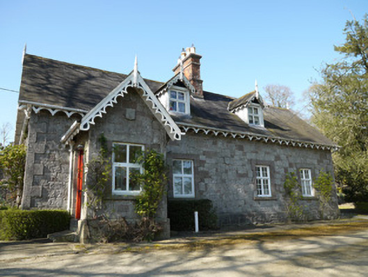 Corcrin Househouse · 741 yd
 Crannog in Drummond OtraCrannog · 1004 yd
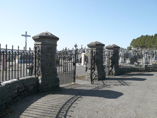 Saint Joseph's Cemeterygates/railings/walls · 1022 yd
 Horse-chestnutHorse-chestnut · 1.7 mi
 European BeechEuropean Beech · 1.9 mi
 Mannan Castle (in ruins)Castle, Anglo-Norman masonry castle · 2.4 mi
 TobernagalliaghSpring · 3.5 mi
 Flat cemetery in AnnaheanFlat cemetery · 3.9 mi
 Drumerlough MoreMountain / peak · 5.3 mi
 BarleyhillMountain / peak · 5.3 mi
 Castle ruinsCastle, unclassified · 5.8 mi