
What is recorded here
Knockmore Fort is a broadly oval earthen ringfort in County Mayo pasture, marked on maps since 1838 and still defined by a substantial bank that rises two metres at its northwest edge. The interior splits into a higher western half and a lower eastern half across a central scarp, suggesting the fort once contained separate rooms or functions rather than a single open yard. Hawthorn still grows along the western and northern perimeter, marking the boundary between the fort and the rolling drumlin landscape that surrounds it.
In pasture, located adjacent to the N boundary of the townland, straddling a rise in rolling terrain dotted with drumlin-like knolls.
This rath is named ‘Knockmore Fort’ on the on the 1838 and 1922 OS 6-inch maps. It consists of a broadly oval area (46m N–S; c. 49m E–W) defined SE–N by a substantial earthen bank (Wth c. 4m; int. H 0.2m; ext. H 2m, at NW), which has been levelled at NNE–ESE to a low undulation. On the W arc, the bank has been incorporated into the line of a later N–S field fence. Outside the bank at SSW and NW traces of a fosse (Wth c. 3.5m) with discrete remnants of an external bank (Wth c. 2.6m; int. H 0.7m; ext. H 0.4m, at NW) can be seen. The interior is partitioned roughly centrally by a scarp on a roughly N–S axis; this coincides with a marked drop of over 1m in ground level between the higher W half and the lower E half. Hawthorn grows on the perimeter at W and N. There is another rath (MA015-043) located 165m to SE.
Compiled by: Jane O’Shaughnessy
Date of upload: 6 December 2018
The monument record does not grant public access. Check the route and ask the landowner before entering private land.
- What survives
- Recorded monument
Places near here
 Knockbeg FortFairy fort / earthen ringfort · 233 yd
 KnockmoreEnclosure · 313 yd
 Castlereaghwalled garden · 1306 yd
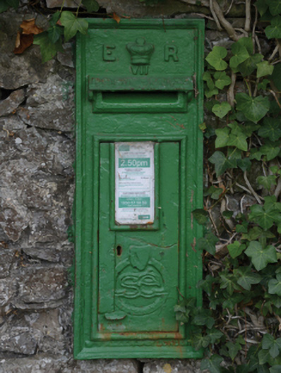 post boxpost box · 1658 yd
 Castle (in Ruins)Castle, tower house · 1700 yd
 Battle of Killalabattle · 1.1 mi
 CastleCastle, unclassified · 1.2 mi
 Green IslandIslet · 1.4 mi
 Rinnaun PointHeadland · 1.6 mi
 Battlefields of MoyneBattlefield · 2.5 mi
 TrabaunBeach / strand · 3.0 mi
 Moyne AbbeyHeritage attraction · 3.1 mi
Other information
Photo: Credit not shown in the picture search · Rights wording not checked; contact us if this picture should be removed