
What is recorded here
In pasture, on a rise in rolling terrain dotted with drumlin-like knolls. There are good views, particularly to W.
Raised circular area (22m E–W; 23m N–S) defined at NE–SE by remnants of a bank (Wth c. 3m; int. H 0.2m; ext. H 0.8m at E), reduced elsewhere to a scarp (H 1.5m at S, 0.8m at W), and enclosed by a fosse (2-2.4m at W) and at SE–N by an external bank (Wth 3.2m; int. H 0.8m; ext. H 0.7m). At N and NE–E the external bank has been truncated by two intersecting field fences on E–W and N–S axes. A short length of the external bank has also been truncated at SSW by a quarry pit (diam. 8m). The centre of the interior appears very slightly higher tha, with a slight slope down from there to S. Blackthorn, hawthorn and brambles grow around the perimeter. There is a rath (MA015-042----) 165m to NW, and there is a cluster of raths, enclosures, possible barrows and a wedge tomb (MA015-044001- to MA015-044006-) c. 160m to SE.
Compiled by: Jane O’Shaughnessy
Date of upload: 6 December 2018
The monument record does not grant public access. Check the route and ask the landowner before entering private land.
- What survives
- Recorded monument
Places near here
 IndicatedFairy fort / earthen ringfort · 207 yd
 Knockmore FortFairy fort / earthen ringfort · 233 yd
 Castlereaghwalled garden · 1490 yd
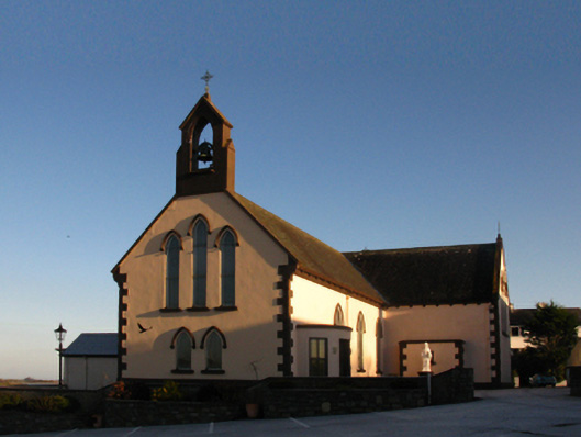 Saint Patrick's Catholic Churchchurch/chapel · 1688 yd
 Battle of Killalabattle · 1.0 mi
 CastleCastle, unclassified · 1.1 mi
 Castle (in Ruins)Castle, tower house · 1.1 mi
 Green IslandIslet · 1.3 mi
 Rinnaun PointHeadland · 1.5 mi
 Battlefields of MoyneBattlefield · 2.4 mi
 Moyne AbbeyHeritage attraction · 3.0 mi
 TrabaunBeach / strand · 3.0 mi
Other information
Photo: Credit not shown in the picture search · Rights wording not checked; contact us if this picture should be removed