
What is recorded here
Located in an area of rolling average pasture dotted with drumlin-like knolls and hummocks, with good views generally, especially SE–SW. The rath is situated on a low, natural rise. Field boundaries to E and SE shown on the 1922 OS 6-inch map were removed during land reclamation to create one large open field.
Raised circular area (diam. c. 20m) defined by the remnants of an earthen bank, largely reduced to a scarp (Wth slope c. 2.3m; ext. H 1.3m). The enclosure is in poor condition, obscured by heaps of field clearance debris and engulfed in overgrowth, making examination difficult.
This is one monument in a cluster, which includes: two enclosures (MA015-044002-; MA015-044003-) c. 100-150m to ENE; two possible barrows (MA015-044005-; MA015-044006-) c. 70m to SE, a wedge tomb (MA015-044007-) c. 100m to ENE, and a rath (MA015-044004-) c. 200m to SE.
Compiled by: Jane O’Shaughnessy
Date of upload: 6 December 2018
The monument record does not grant public access. Check the route and ask the landowner before entering private land.
- What survives
- Recorded monument
Places near here
 Knockbeg FortFairy fort / earthen ringfort · 207 yd
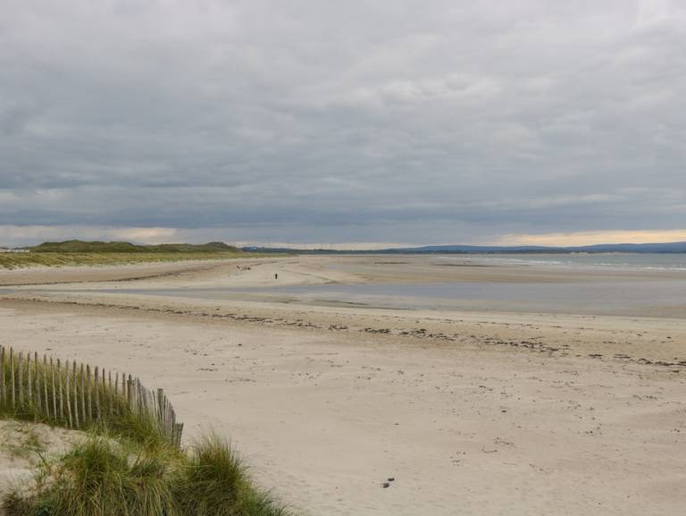 Enclosure in Townplots WestEnclosure · 226 yd
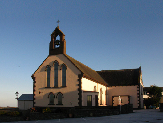 Saint Patrick's Catholic Churchchurch/chapel · 1521 yd
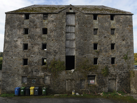 store/warehousestore/warehouse · 1544 yd
 Battle of Killalabattle · 1580 yd
 CastleCastle, unclassified · 1690 yd
 Castle (in Ruins)Castle, tower house · 1.2 mi
 Green IslandIslet · 1.2 mi
 Rinnaun PointHeadland · 1.5 mi
 Battlefields of MoyneBattlefield · 2.3 mi
 Moyne AbbeyHeritage attraction · 2.9 mi
 Bartragh IslandIsland · 3.0 mi
Other information
Photo: Credit not shown in the picture search · Rights wording not checked; contact us if this picture should be removed