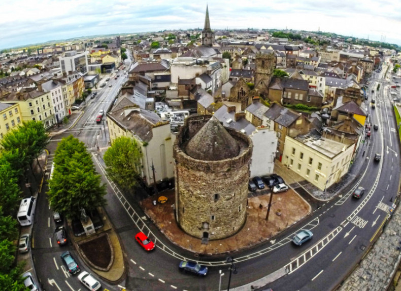
What is recorded here
Embanked enclosure is a fairy fort or ringfort in Towergare, County Waterford, Ireland. The 1840 edition of the Ordnance Survey six-inch map marked a circular embanked enclosure with an external diameter of about 70 metres, its southern perimeter slightly constrained by field banks. The 1999 Archaeological Inventory recorded that it is situated in pasture on a broad, low hill and is not visible at ground level.
Marked as a circular embanked enclosure (ext. diam. c. 70m), the perimeter of which is slightly constrained by field banks at S, on the 1840 ed. of the OS 6-inch map. Situated in pasture on a broad, low hill, it is not visible at ground level.
The above description is derived from the published 'Archaeological Inventory of County Waterford' (Dublin: Stationery Office, 1999). In certain instances the entries have been revised and updated in the light of recent research.
Date of upload/revision: 25 August 2009
The monument record does not grant public access. Check the route and ask the landowner before entering private land.
- What survives
- Recorded monument
Places near here
 Burnt mound in CarriglongBurnt mound · 301 yd
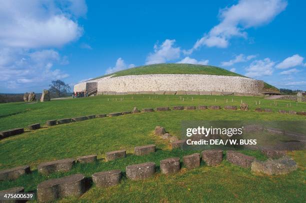 Passage tomb in CarriglongPassage tomb · 634 yd
 Perry's BridgeOfficially recorded historic building · 1448 yd
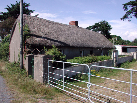 farm housefarm house · 1582 yd
 Cullen Castle (in ruins)Castle, tower house · 1.5 mi
 Sugar Loaf RockMountain / peak · 1.5 mi
 Tourist InformationVisitor information · 2.6 mi
 Tramore Dunes WalkWalking route · 2.7 mi
 Cannon GunBattlefield · 2.9 mi
 Doneraile WalkWalking route · 2.9 mi
 Mote or TumulusCastle, motte · 3.2 mi
Other information
Photo: Credit not shown in the picture search · Rights wording not checked; contact us if this picture should be removed