
What is recorded here
Situated towards the bottom of a gentle N-facing slope, beside a spring. There is local information about an area of broken and burnt stone which is visible when ploughed.
The above description is derived from the published 'Archaeological Inventory of County Waterford' (Dublin: Stationery Office, 1999). In certain instances the entries have been revised and updated in the light of recent research.
Date of upload/revision: 23 December 2008
Burnt mound in Carriglong is a Bronze Age ritual or industrial site, characterised by heated stones and associated with heat-related activities. Its location beside a spring suggests possible ceremonial or water-related functions.
The monument record does not grant public access. Check the route and ask the landowner before entering private land.
- What survives
- Recorded monument
Places near here
 Embanked enclosureFairy fort / ringfort · 301 yd
 Enclosure in Kilbride NorthEnclosure · 471 yd
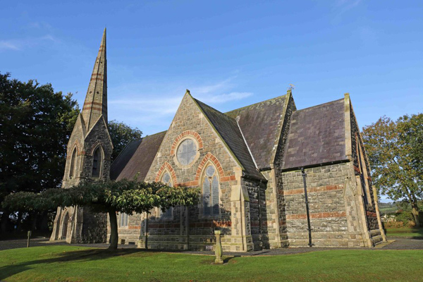 St, Brigets Church (in ruins)Church · 1566 yd
 Perry's BridgeOfficially recorded historic building · 1583 yd
 Cullen Castle (in ruins)Castle, tower house · 1.3 mi
 Sugar Loaf RockMountain / peak · 1.5 mi
 Tourist InformationVisitor information · 2.5 mi
 Tramore Dunes WalkWalking route · 2.6 mi
 Cannon GunBattlefield · 2.8 mi
 Doneraile WalkWalking route · 2.8 mi
 Mote or TumulusCastle, motte · 3.1 mi
Other information
Photo: Credit not shown in the picture search · Rights wording not checked; contact us if this picture should be removed