What is recorded here
In pasture, located on flat ground flanking the S bank of the Mannin River, and overlooked by a low ridge 40m to SW.
Horseshoe-shaped mound (5m NE–SW; 4.6m NW–SE; H 0.35m) encompassing a central depression (diam. 1.2m) open to NW. The river bank lies 3m to NNE. A burnt mound and a possible fulacht fia (MA093-043004-; MA093-043005-) are located to NW.
Compiled by: Jane O’Shaughnessy
Date of upload: 23 June 2022
The monument record does not grant public access. Check the route and ask the landowner before entering private land.
- What survives
- Recorded monument
Places near here
 IndicatedFairy fort / earthen ringfort · 534 yd
 Enclosure in KilmanninEnclosure · 1304 yd
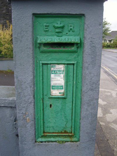 post boxpost box · 1649 yd
 Ballyhaunis Courthousecourt house · 1731 yd
 CastleCastle, unclassified · 1.3 mi
 Rath Castle in ruinsCastle, tower house · 4.8 mi
 East Mayo Brigade MonumentMemorial · 6.6 mi
 Land of the GiantsHeritage attraction · 10 mi
 Kiltimagh MuseumMuseum · 10 mi
 Oak WoodForest · 10 mi
 I'll Send You The FareMemorial · 10 mi
 Geoffrey's WoodForest · 11 mi