What is recorded here
Magic and math both bend here. Forty-five metres from the inauguration mound of Magh Adhair, a twenty-one metre earthen chamber still holds its shape beside the Hell River. Human hands built it, yet the proportions suggest another teacher. What is measured is real. What is hidden is not false. The circle is complete.
Situated in a low-lying area at the NW edge of a natural amphitheatre on the E bank of the Hell River. The inauguration mound of Magh Adhair (CL034-095001-CL034-095007-) is 45m to the SE, also within the amphitheatre. A circular area (diam. 21.8m N-S; 20.6m E-W) defined by an earthen bank (Wth 3.5m; int. H 0.15m; ext. H 0.7-1.6m) reduced to a scarp (H 1.6m) at W, a fosse (Wth of top 4.7-5m; Wth of base 1.4-2m; D 0.4-0.8m) and an outer bank (Wth 3.4-3.6m; H 0.3-0.9m) from E through S to W. There are entrances (Wth 4m) in the inner bank at E and NNW. Enclosure (CL034-095009-) is conjoined to the NE.
Compiled by: Leo Morahan and Michael Moore
Date of upload: 4 March 2015
The monument record does not grant public access. Check the route and ask the landowner before entering private land.
- What survives
- Recorded monument
Places near here
 Magh AdhairArchaeological place · 81 yd
 Toberlanniv Holy WellHoly well · 219 yd
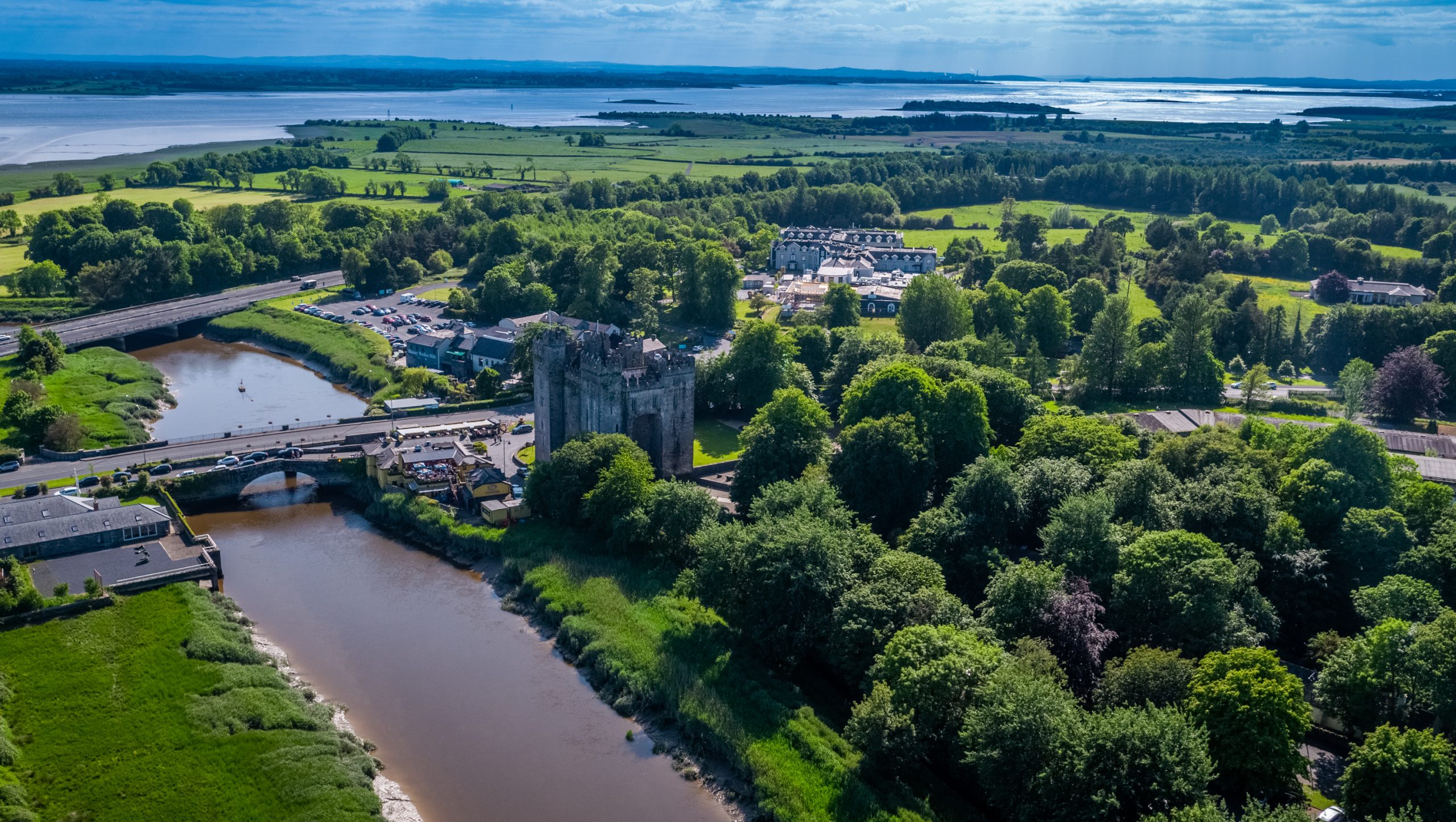 Toonagh Castle (Site of)Castle, unclassified · 555 yd
 Toonagh Househouse · 688 yd
 Corbally Castle (Site of)Castle, unclassified · 1714 yd
 Shankill Church (in ruins)Church · 1.2 mi
 Cloghleagh RockNamed rock · 1.7 mi
 Quin AbbeyHeritage attraction · 2.1 mi
 The RingfortHeritage attraction · 2.5 mi
 Kilcatherine GraveyardWood · 3.7 mi
 Mooghaun WoodsWood · 4.7 mi
 CahercallaFairy fort / stone ringfort · 651 yd