What is recorded here
Located on low-lying poorly drained land with bog to the N and well-drained pasture to the S. A large horseshoe-shaped mound of burnt material (dims. 13m N-S; 14m E-W: H 0.5m) with large boulders protruding from the surface of the mound in the NW sector. Erect orthostats protruding from the SW face of the mound may indicate a possible trough area. Two fulachtaí fia (7:37/02/03) are located 60m to the SW.
The above description is derived from 'The Archaeological Inventory of County Tipperary. Vol. 1 - North Tipperary' compiled by Jean Farrelly and Caimin O'Brien (Dublin: Stationery Office, 2002). In certain instances the entries have been revised and updated in the light of recent research.
Date of upload/revision: 22 September 2008
The monument record does not grant public access. Check the route and ask the landowner before entering private land.
- What survives
- Recorded monument
Places near here
 Tombrickan CastleCastle · 831 yd
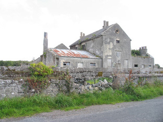 Kyle Park Schoolschool · 1188 yd
 Kyle Parkhouse · 1235 yd
 Enclosure in ClooninihyEnclosure · 1259 yd
 Ritual siteRitual site, holy tree/bush · 1419 yd
 Borris WoodWood · 1.5 mi
 Ballyfinboy Castle (in Ruins)Castle, tower house · 2.0 mi
 Grassy IslandIslet · 3.4 mi
 Brieny IslandIslet · 3.5 mi
 Slevoir BayBay · 3.8 mi
 Carrickboy WoodForest · 4.9 mi
 Portumna Castlegate lodge · 5.3 mi