
What is recorded here
Situated on flat pasture in undulating countryside. Marked on the 1843 ed. OS 6-inch map as the 'Bellow Tree'. Not visible at ground level.
The above description is derived from 'The Archaeological Inventory of County Tipperary. Vol. 1 - North Tipperary' compiled by Jean Farrelly and Caimin O'Brien (Dublin: Stationery Office, 2002). In certain instances the entries have been revised and updated in the light of recent research.
Date of upload/revision: 22 September 2008
Linked to a local tradition of the "Bellow Tree," the site may have been a place of ritual or healing, possibly associated with Saint Brigid or an earlier Celtic practice of tree veneration. Such trees were often believed to possess protective or curative powers, with offerings left at their roots for fertility, health, or safe childbirth.
The monument record does not grant public access. Check the route and ask the landowner before entering private land.
- What survives
- Recorded monument
Places near here
 Kyle Parkhouse · 513 yd
 Tombrickan CastleCastle · 646 yd
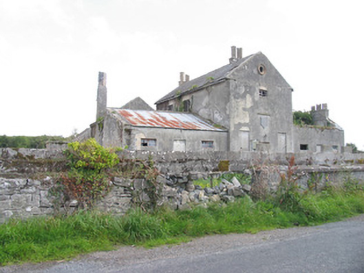 Kyle Park Schoolschool · 881 yd
 Enclosure in KyletombrickaneEnclosure · 1462 yd
 Enclosure in ClooninihyEnclosure · 1.1 mi
 Ballyfinboy Castle (in Ruins)Castle, tower house · 1.3 mi
 Borris WoodWood · 1.4 mi
 Grassy IslandIslet · 3.7 mi
 Brieny IslandIslet · 3.7 mi
 Carrickboy WoodForest · 4.3 mi
 Slevoir BayBay · 4.6 mi
 Cregg PointHeadland · 5.7 mi
Other information
Photo: Credit not shown in the picture search · Rights wording not checked; contact us if this picture should be removed