What is recorded here
Marked on the 1841-42 and 1914 OS maps as 'Tobernaseeth' (Tobar na Saighead - well of the arrows).
Situation and Description: This well is situated in a large field to the right of Kissane's house. It has now been covered over by a concrete building, and the water is used for cattle and piped for domestic' use.
Rounds/Legends/Offerings: No tradition survives.
The above description is derived from C. Toal, ‘North Kerry Archaeological Survey’. Dingle. Brandon in association with FAS Training and Employment Authority (1995), no. 891. In certain instances the entries have been revised and updated in the light of recent research.
Date of upload: 3 August 2013
Linked to Saint Gobnait, the well is traditionally associated with cures for eye ailments and was historically visited for its healing waters. The name Tobar na Saighead (well of the arrows) may reflect an ancient or folkloric connection to protection or conflict, though specific traditions are not well documented.
The monument record does not grant public access. Check the route and ask the landowner before entering private land.
- What survives
- Recorded monument
Places near here
 Enclosure in Aghanagran UpperEnclosure · 1.1 mi
 Burnt spread in KilgarvanBurnt spread · 1.3 mi
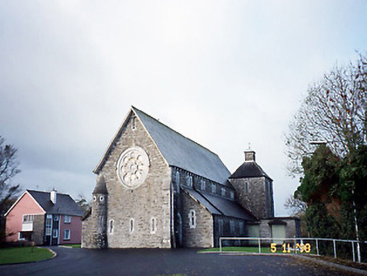 Catholic Church of Saint Michael the Archangelchurch/chapel · 2.2 mi
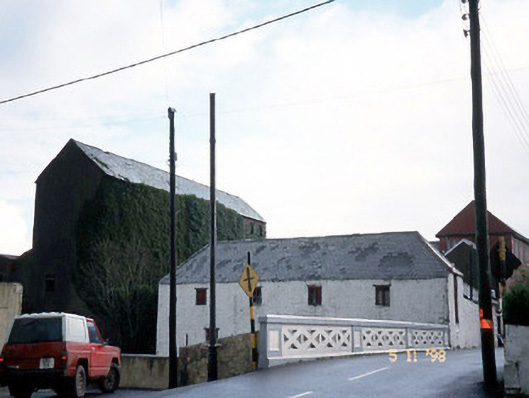 store/warehousestore/warehouse · 2.3 mi
 CastleCastle, ringwork · 2.7 mi
 Siege of Carrigafoyle Castlesiege · 2.7 mi
 Carrigafoyle Cas. (in ruins)Castle, tower house · 2.8 mi
 Carrig IslandIsland · 3.0 mi
 KnockanoreMountain / peak · 3.3 mi
 Beal PointHeadland · 4.8 mi
 Scattery IslandIsland · 5.2 mi
 Fawley's PointHeadland · 5.2 mi