What is recorded here
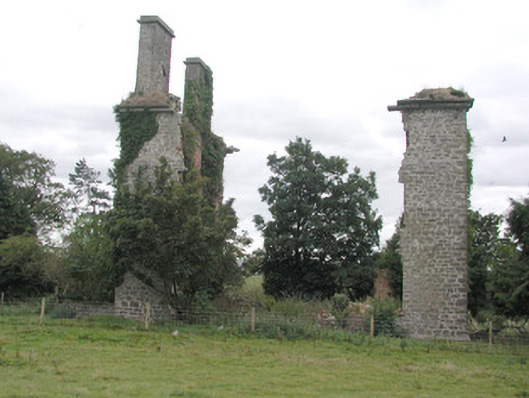
On a slight SW-facing slope above the flood-plain of the River Suck. Subrectangular area (dims c. 100m NE-SW; c. 100m NW-SE) defined by masonry walls (H up to 2.75m; T c. 0.6m) just NW of the fortified house (RO041-031----). No entrance is recognised. The SW wall has narrow lights looking into the garden close to the house but there is a line of later buildings attached to the SW side of this wall, and the foundations of buildings can be traced further NW. This SW wall of the garden extends off to the NW (L c. 800m) as a substantial field boundary.
Compiled by: Michael Moore
Date of upload: 24 August 2010
The monument record does not grant public access. Check the route and ask the landowner before entering private land.
- What survives
- Recorded monument
Places near here
 CastleHouse, fortified house · 119 yd
 Enclosure in ToberavaddyEnclosure · 185 yd
 indicatedFairy fort / earthen ringfort · 848 yd
 Castlestrangefarmyard complex · 1052 yd
 Rookwood Bridgebridge · 1635 yd
 Sally IslandIslet · 1.9 mi
 European Crab AppleEuropean Crab Apple · 2.3 mi
 European YewEuropean Yew · 2.4 mi
 Castle KellyCastle, tower house · 3.3 mi
 Mount MaryMountain / peak · 4.6 mi
 Roscommon CastleCastle · 5.2 mi
 Site of Killomaine Grave YardArchaeological place · 8.4 mi