
What is recorded here
Toberallen is a holy well in Toberaquill, County Westmeath, Ireland. The 1837 edition of the Ordnance Survey 6-inch map depicts two wells at this location, with the northern well annotated as Toberallen and both shown with water flowing southwest into a stream that marks the townland boundary with Knockatee. The church and churchyard lie 75 metres to the northeast, while the stream lies 5 metres to the west, and the source notes that no surface remains of either well are visible because the stream has been dredged and spoil spread over the location of both.
Toberallen Church (WM012-180----) and churchyard (WM012-180002-) lies 75m to NE. The stream running N-S which marks the townland boundary with Knockatee lies 5m to W. Two wells are depicted at this location of the 1837 ed. OS 6-inch map and the well to the N is annotated as 'Toberallen'. On this map both wells are depicted with water flowing out at SW and into the stream which marks the townland boundary. No surface remains of either well visible as the stream has been dredged and spoil spread over the location of both wells.
Compiled by: Frank Coyne and Caimin O'Brien
Date of upload: 12 March 2018
The monument record does not grant public access. Check the route and ask the landowner before entering private land.
- What survives
- Recorded monument
Places near here
 Toberallen Church Yd.Churchyard · 91 yd
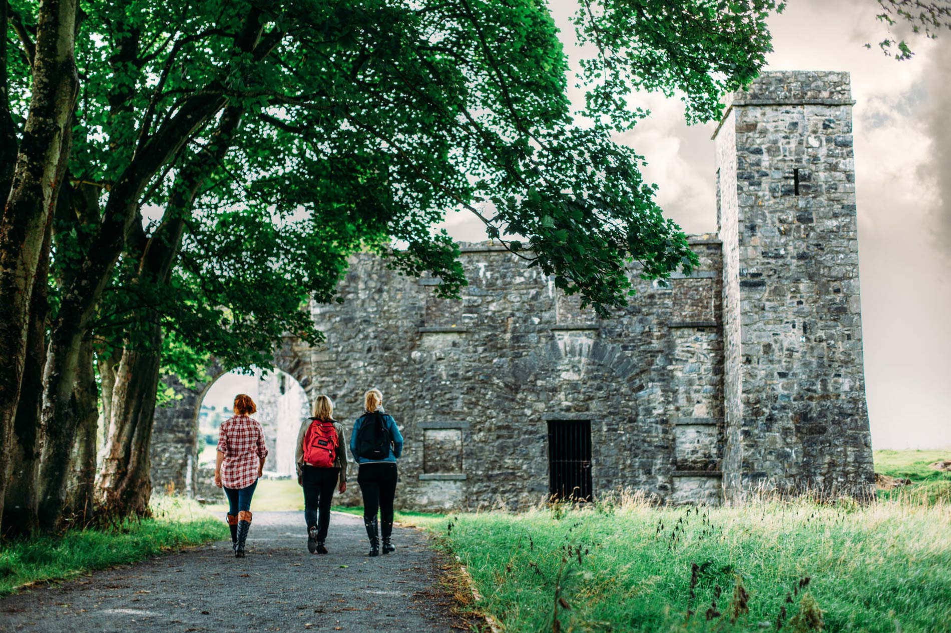 Partially hachuredFairy fort / earthen ringfort · 281 yd
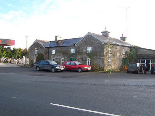 Rose Cottageworker's house · 1715 yd
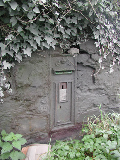 post boxpost box · 1728 yd
 Long PlantingForest · 1.8 mi
 Taghmon CastleCastle, tower house · 2.0 mi
 Scragh Bog Nature ReserveNature reserve · 3.0 mi
 Saint Brigid's WellSpring · 3.2 mi
 Church IslandIsland · 3.5 mi
 United Nations War MemorialMemorial · 3.7 mi
 Site of Fennor CastleCastle, tower house · 4.1 mi
 The Chimera GalleryGallery · 4.2 mi
Other information
Photo: Credit not shown in the picture search · Rights wording not checked; contact us if this picture should be removed