What is recorded here
In rough pasture, at the base of a S-facing slope. A small concave hollow (c. 2m across) scarped into the base of the slope, and bordered by a N-S field boundary at E, appears to mark the site of the well. It is engulfed in brambles and recent field-clearance activity has disturbed the surrounding ground. There is no evidence of recent veneration at this well. It was described during a previous site inspection in 1992 as a rectangular stone-lined well (Wth c. 0.2m; D 0.3m) covered with overgrowth (SMR (1989) file).
The above description is derived from the published 'Archaeological Inventory of County Sligo' compiled by Ursula Egan, Elizabeth Byrne, Mary Sleeman with Sheila Ronan and Connie Murphy (Dublin Stationery Office, 2005).
Date of upload: 18 January 2008
Linked to Saint Nania, Toberanania well is traditionally associated with cures for skin ailments and general well-being. The saint is said to have been a 7th-century hermit who lived nearby, and the site is marked by a small hollow that may have once held a stone basin for holy water.
The monument record does not grant public access. Check the route and ask the landowner before entering private land.
- What survives
- Recorded monument
Places near here
 Sweathouse in KillerrySweathouse · 1513 yd
 MoteCastle, motte · 1538 yd
 Corn kilnSweathouse · 1542 yd
 Church (in Ruins)Church · 1.1 mi
 CastleCastle, unclassified · 1.2 mi
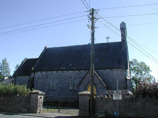 Tiraghrillchurch/chapel · 1.2 mi
 SlishwoodWood · 2.4 mi
 Cullentra ForestForest · 2.4 mi
 Trawane BayBay · 2.7 mi
 InnisfreeIslet · 2.7 mi
 Slishwood Island WestIslet · 3.1 mi
 Giants GraveArchaeological place · 3.2 mi