What is recorded here
Fairy fort / earthen ringfort in Toberanania is a fairy fort or earthen ringfort in Toberanania, County Sligo, Ireland. It occupies a high ridge with an oval platform thirty metres long and twenty metres wide. An earthen bank and scarp define the edge, while a broad external ditch runs along the south and west.
In rough, rushy pasture, on the top of a high ridge at a break of slope on the E side with extensive views N-S. An oval platform (c. 30m N-S; c. 20m E-W) defined by an earthen bank (Wth c. 5m; int. H c. 0.5m; ext. H 1.75m) SW-N and by a scarp (H c. 2m) elsewhere. An external fosse (Wth 5m) evident SSW-NNW is broad, deep and flat-bottomed. It is bordered on its outer edge by a substantial townland and field boundary (Wth 3m; int. H 1.7m; ext. H 1m) that continues beyond the enclosure to NW and SE but may preserve the line of an outer bank. Elsewhere the fosse is a slight depression (Wth 4-5m) of soft, wet ground. From NE-SE the ridge slope falls away abruptly from its outer edge. The entrance (Wth 0.7m) is at ENE, partially faced with large stones. Stones are also visible protruding from the external face of the bank in this area. The rath is ringed with hazel and the interior, which appears to slope down gently to E, is engulfed in a thicket of impenetrable blackthorn bushes. The townland boundary between Mullaghfin and Toberanania skirts the rath S-NNW.
The above description is derived from the published 'Archaeological Inventory of County Sligo' compiled by Ursula Egan, Elizabeth Byrne, Mary Sleeman with Sheila Ronan and Connie Murphy (Dublin Stationery Office, 2005).
Date of upload: 18 January 2008
The monument record does not grant public access. Check the route and ask the landowner before entering private land.
- What survives
- Recorded monument
Places near here
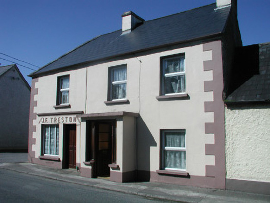 J.F. Trestonhouse · 1066 yd
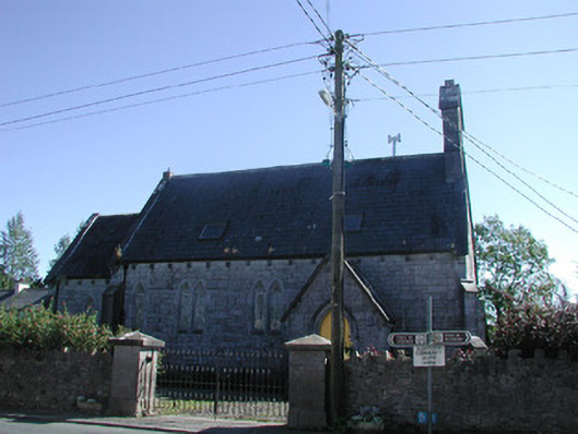 Tiraghrillchurch/chapel · 1070 yd
 Corn kilnSweathouse · 1081 yd
 CastleCastle, unclassified · 1110 yd
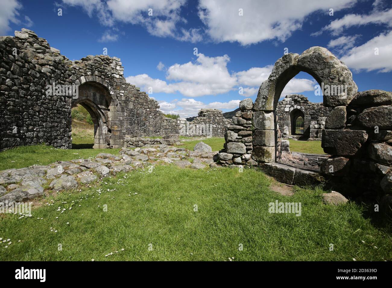 Doon FortCliff-edge fort · 1379 yd
 MoteCastle, motte · 1.2 mi
 SlishwoodWood · 2.1 mi
 Giants GraveArchaeological place · 2.6 mi
 Slishwood Island WestIslet · 2.8 mi
 Slishwood Island EastIslet · 2.9 mi
 Bunowen BayBay · 3.0 mi
 Parke's CastleHeritage attraction · 4.1 mi