What is recorded here
Rathclarish is an archaeological place in County Tipperary, Ireland. A large oval enclosure measured roughly 70 to 100 metres across before demolition removed much of its earthwork. A low rise and a three-metre-wide scarp still mark the northern and western edges, while a band of lush grass on the western interior may trace the former defensive ditch. Fragments of quern stones unearthed during the demolition were reburied on the spot according to local account.
Rathclarish is recorded as a archaeological place in County Tipperary. Its open map record supplies this location and any linked names or public references.
Places near here
 Enclosure in RathclarishEnclosure · 839 yd
 Enclosure in Curraheen (newtownlennan Par.)Enclosure · 1505 yd
 Curraghdobbin HillMountain / peak · 1662 yd
 Carrigadoon HillMountain / peak · 1.3 mi
 Church (in ruins)Church · 1.8 mi
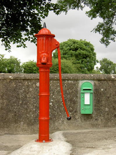 water pumpwater pump · 1.9 mi
 Wild CherryWild Cherry · 2.0 mi
 Knockroe Passage TombVisitor information · 2.1 mi
 Castle JohnCastle, tower house · 2.1 mi
 CastleCastle, motte · 2.3 mi
 Kilkieran CrossesHeritage attraction · 2.6 mi
 Thomas KielyMemorial · 2.9 mi
Other information
Photo: Credit not shown in the picture search · Rights wording not checked; contact us if this picture should be removed