What is recorded here
Tinnahinch was one of three real towns in County Laois during the seventeenth century, sharing the local stage with Mountmellick and Castlebrack. Charles Dunne owned the mill and every house on the east side of the Barrow river when an inquisition recorded the cluster in 1637. The exact buildings have vanished, but they likely formed a working riverside community where water power and human labour met.
1637 inquistion taken at Maryboro (Portlaoise) when charles Dunne is described as being posessed of the myll and all the houses on the easte side of ye river of the Barrow in the towne and fields of Tinnahinchie in the territory of Iregan (Crosdaile, L. H. 1959, 12). Sir William petty mentions three towns in his seventeenth century survey, these were the towns of Mountmellick, Tinnahinch and Castlebrack. Unlocated settlement within the townland of Tinnahinch.
Compiled by: Caimin O'Brien
Date of upload: 17 December 2007
The monument record does not grant public access. Check the route and ask the landowner before entering private land.
- What survives
- Recorded monument
Places near here
 Enclosure in TinnahinchEnclosure · 618 yd
 Enclosure in ConesEnclosure · 1.0 mi
 Turrets (in Ruins)Bawn · 1.1 mi
 CastleCastle, unclassified · 1.4 mi
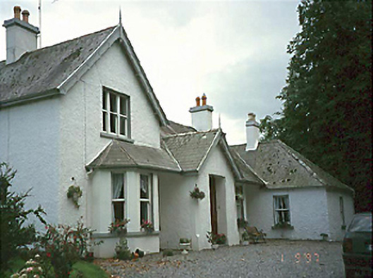 Clarahill Househouse · 1.9 mi
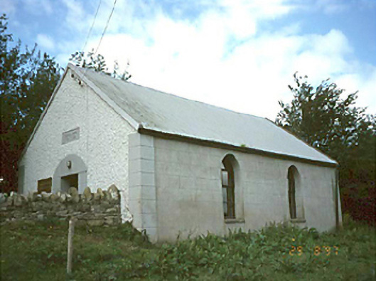 Ballyhuppahane Methodist Churchchurch/chapel · 2.3 mi
 BaunreaghcongMountain / peak · 2.7 mi
 Slieve Bloom MountainsMountain range · 3.7 mi
 Kilmanman church (in Ruins), GraveyardChurch · 3.9 mi
 Sitka SpruceSitka Spruce · 4.7 mi
 Church (in Ruins), Graveyard, CarrigeenChurch · 6.2 mi
 Giant's Grave LoopWalking route · 6.3 mi