What is recorded here
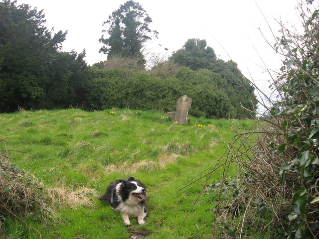
Grave Yard holds the parish church of Timoole inside neglected masonry walls on a rise above the Nanny River valley. Its font left for Kentstown shortly after that Catholic church appeared, shifting a sacred function across five kilometres while the old stones waited. The graveyard still marks death and memory on the southern edge of the river valley, even though its active role moved elsewhere.
Situated on a rise in a fairly level landscape at the S edge of the W-E valley of the Nanny River with a WSW-ENE section of the stream c. 250m to the N. The parish church of Timoole (ME032-013----) is within a neglected subrectangular graveyard (dims c. 45m ENE-WSW; c. 35-40m NNW-SSE) defined by masonry walls. The font from here was moved to the Roman Catholic church at Kentstown (ME032-005----), c. 5km to the W, shortly after the Catholic church was built (Cogan 1862-70, 1, 346-7; Roe 1968, 69-72).
Compiled by: Michael Moore
Date of upload: 23 January, 2015
The monument record does not grant public access. Check the route and ask the landowner before entering private land.
- What survives
- Recorded monument
Places near here
 Enclosure in TimooleEnclosure · 476 yd
 BarrowBarrow, unclassified · 1080 yd
 Athcarne CrossWayside cross · 1282 yd
 Athcarne CastleCastle, tower house · 1575 yd
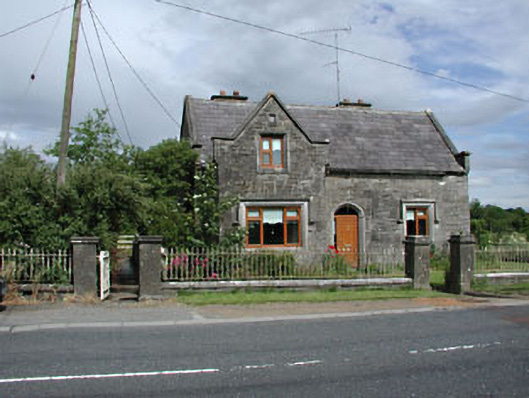 Stone LodgeRIC barracks · 1.0 mi
 European BeechEuropean Beech · 2.0 mi
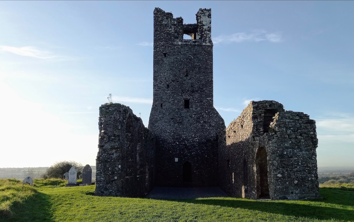 CastleCastle, motte · 2.2 mi
 PuddenhillHeritage attraction · 2.6 mi
 European ashEuropean ash · 2.7 mi
 Candle HillMountain / peak · 4.1 mi
 Newtown HillMountain / peak · 4.7 mi
 Boyne Currach CentreHeritage attraction · 4.7 mi
Other information
Photo: Kieran Campbell · Creative Commons Attribution-ShareAlike 2.0