What is recorded here
At the E end of E-W ridge on the S banks of the River Nore which flows NW-SE c. 150m to the N, in rolling grassland and arable. There are very good views along and across the valley in all directions. Indicated as a circular tree-ring (diam. c. 70m) within Threecastles demesne on the 1st (1839) ed. OS 6-inch map and not indicated on the 1946-7 revision, though a stand of trees are drawn at this location. There is no visible trace of an enclosure at ground level but there is a flat-topped natural hillock. It seems likely that the hillock was used as a small tree plantation on the demesne.
Compiled by: Jean Farrelly
Date of upload: 21 May 2020
This remains an important historical record, but the official description says the monument is no longer visible or has been destroyed. The monument record does not grant public access. Check the route and ask the landowner before entering private land.
- What survives
- No visible remains or recorded as destroyed
Places near here
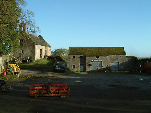 Threecastles Housefarmyard complex · 551 yd
 Turkey OakTurkey Oak · 565 yd
 Ardaloo Castle (in ruins)Castle, unclassified · 613 yd
 Church in ArdalooChurch · 691 yd
 IndicatedCastle, motte · 695 yd
 Graveyard in ThreecastlesGraveyard · 846 yd
 Enclosure in Dunmore WestEnclosure · 936 yd
 Enclosure in Ballycarran LittleEnclosure · 948 yd
 Jenkinstown ParkForest · 1.7 mi
 Saint Coleman's WellSpring · 2.0 mi
 Trinity WellSpring · 2.0 mi
 Emma Jane Browne-ClaytonMemorial · 3.9 mi