What is recorded here
Listed in both the SMR (1989) and RMP (1995) and classified 'Enclosure' and 'Tree Ring' respectively. Depicted as a large roughly oval-shaped feature on the 1837 and 1914 editions of the OS 6-inch map. This is shown as being densely overgrown with trees on the 1838 edition; less so on the 1913 map. Upon inspection in 1993 it was concluded that this feature was constructed in the 19th century in the demesne of Templehouse to landscape the parkland around Templehouse. It is is post-1700 AD in date.
Compiled by: Archaeological Survey Unit, UCC
Date of upload: 14 December 2011
The monument record does not grant public access. Check the route and ask the landowner before entering private land.
- What survives
- Recorded monument
Places near here
 European ashEuropean ash · 272 yd
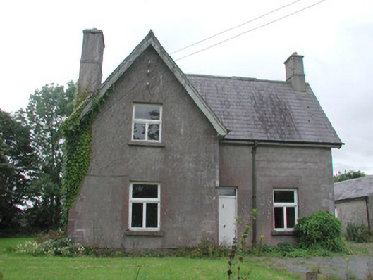 Temple Househunting/fishing lodge · 381 yd
 Indicated (1838).Enclosure · 636 yd
 CrossCross, High cross · 998 yd
 IndicatedBawn · 1022 yd
 ElderElder · 1037 yd
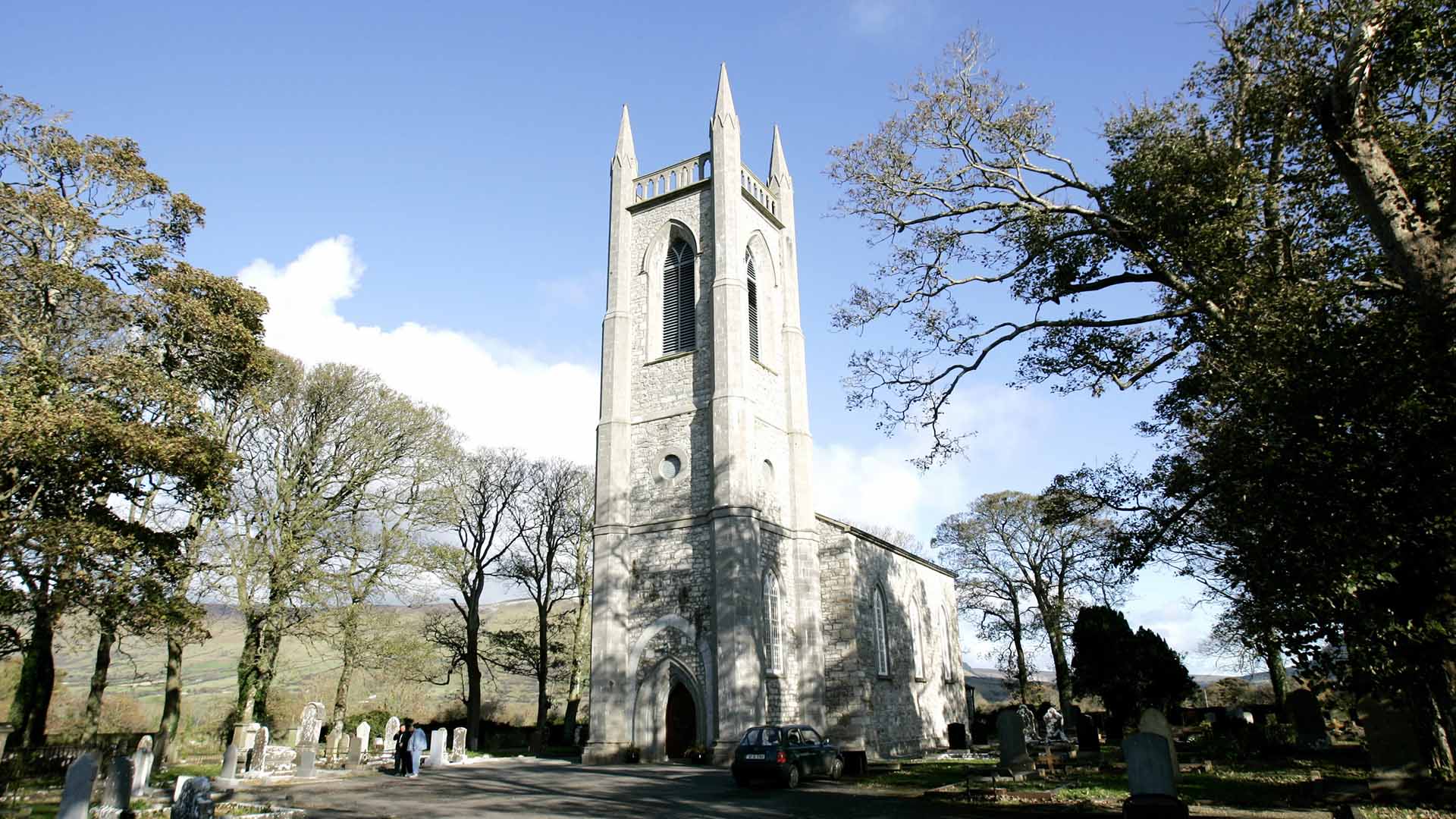 Church (in Ruins)Church · 1630 yd
 CastleCastle, unclassified · 2.5 mi
 Brother WalfridMemorial · 3.6 mi
 Tymon's HillMountain / peak · 4.3 mi
 Tullaghan HillMountain / peak · 4.7 mi
 James MorrisonMemorial · 6.1 mi