What is recorded here
A single stake exposed on the field surface 1.20m from the drain edge. The top of the stake was broken from milling. It retained bark and a worked end made using a metal blade. The stake lay at a 45º angle and was 0.65m long and 0.04m in diameter. There were no other sightings made immediate to this stake which was situated in raised bog peats. (Bermingham 2014)
Compiled by: David O’Connor
Date of upload: 21 November 2014
The monument record does not grant public access. Check the route and ask the landowner before entering private land.
- What survives
- Recorded monument
Places near here
 EnclosureEnclosure, large enclosure · 1512 yd
 Kinnegad Bridgebridge · 1.5 mi
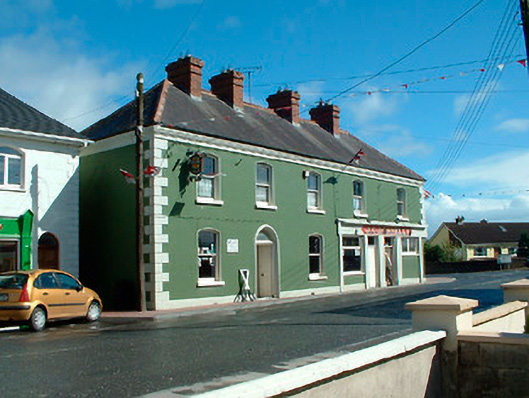 J.C. Donnellyhouse · 1.5 mi
 OutlinedFairy fort / earthen ringfort · 1.6 mi
 Ardnamullan CastleCastle, tower house · 1.7 mi
 Queen Marys CastleCastle, tower house · 2.0 mi
 Rahin WoodsForest · 2.6 mi
 Roundhill WoodForest · 3.1 mi
 Croppies' GraveMemorial · 3.8 mi
 Moat HillMountain / peak · 5.3 mi
 Sli na Slainte - mapVisitor information · 12 mi
 Allen family memorial headstoneMemorial · 13 mi