What is recorded here
This site was located in the industrial peatlands of Kinnegad Bog. During the recourse of the peatland survey in 2013, just a single horizontal roundwood was noted (Bermingham 2014).
This site was excavated in 2015 (licence 15E0161) and dated to cal. 3708–3534 BC (UBA-31812). It was situated in poorly decomposed Sphagnum peat. Excavation revealed three short lengths of brushwood orientated NW-SE, located close to the drain edge 0.11 below the field surface. One of them was located at the N extent of the cutting, with the two others located to the S laid side by side. None of the elements had evidence for toolmarks and all were in fairly poor condition (Whitaker 2017).
Compiled by: David O’Connor, Edited by: Femke Vleeshouwer, 15 April 2020
Date of upload: 21 November 2014
The monument record does not grant public access. Check the route and ask the landowner before entering private land.
- What survives
- Recorded monument
Places near here
 EnclosureEnclosure, large enclosure · 1430 yd
 Kinnegad Bridgebridge · 1.5 mi
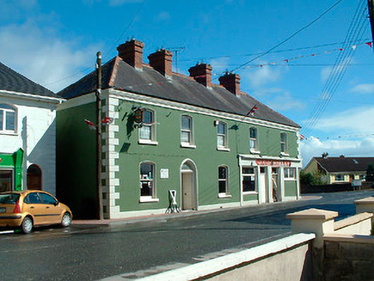 J.C. Donnellyhouse · 1.6 mi
 OutlinedFairy fort / earthen ringfort · 1.6 mi
 Ardnamullan CastleCastle, tower house · 1.8 mi
 Queen Marys CastleCastle, tower house · 2.0 mi
 Rahin WoodsForest · 2.6 mi
 Roundhill WoodForest · 3.0 mi
 Croppies' GraveMemorial · 3.9 mi
 Moat HillMountain / peak · 5.3 mi
 Sli na Slainte - mapVisitor information · 12 mi
 Allen family memorial headstoneMemorial · 12 mi