What is recorded here
A single stake visible on the field surface demonstrating the archaeological potential of the location. The stake, 0.3m long and 0.035m in diameter, retained a worked end - a chisel point made using a metal blade. The facets were slightly dished suggesting a convex rather than a flat metal blade was used. It was situated in an area rich in natural wood which may be obscuring other archaeological deposits. The area is characterised by laminated highly humified raised bog peats. (Bermingham 2014)
Compiled by: David O’Connor
Date of upload: 21 November 2014
The monument record does not grant public access. Check the route and ask the landowner before entering private land.
- What survives
- Recorded monument
Places near here
 EnclosureEnclosure, large enclosure · 1640 yd
 Kinnegad Bridgebridge · 1.7 mi
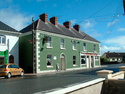 J.C. Donnellyhouse · 1.7 mi
 OutlinedFairy fort / earthen ringfort · 1.8 mi
 Ardnamullan CastleCastle, tower house · 1.8 mi
 Queen Marys CastleCastle, tower house · 1.9 mi
 Rahin WoodsForest · 2.4 mi
 Roundhill WoodForest · 2.8 mi
 Croppies' GraveMemorial · 3.7 mi
 Moat HillMountain / peak · 5.3 mi
 Sli na Slainte - mapVisitor information · 12 mi
 The Fairy BowerHeritage attraction · 12 mi