What is recorded here
Strancally Castle stands angled on a rock outcrop jutting into the Blackwater River, its D-shaped bawn cut by a straight fosse and bounded by cliff and water. James Fitzjohn, last Geraldine owner, joined the Desmond Rebellion in 1579 and was executed, after which the castle passed through Raleigh and others before the Earl of Cork. Only one angle and the northwest wall of the tower house survive, rising about five metres with evidence of barrel vaulting, while the two-floor hall below still holds its rock-cut chamber and basement windows. The place keeps its edge: a castle built to command the river, now reduced to a broken angle overlooking the same water.
Situated on rock outcrop jutting into the N-S Blackwater River from the W bank. Strangcally was the inheritance of John, the youngest son of Gerald Óg, the youngest son of the eight Earl of Desmond. In 1579 James Fitzjohn, the last Geraldine owner of the castle, joined the Desmond Rebellion and was executed (O'Connell Redmond 1919, 21-4). In 1586 the castle was granted to Sir Walter Raleigh and by 1640 it was in the possession of John Gillard, although five years later it was besieged by Lord Castlehaven and ownership passed to the Earl of Cork (Simington 1942, 20).
The tower house is situated on rock outcrop overlooking the Blackwater River and the hall is on a lower ledge at the water's edge. Only one angle and the NW wall of the tower house survives (H c. 5m) with evidence of barrel vaulting. The tower house is at an angle on the perimeter of the bawn which is a D-shaped area (dims. c. 40m NW-SE; c. 35m NE-SW) defined by a straight rock-cut fosse (Wth 4m; D 1m) on the NW side, a cliff on the W, and what may be the remains of a wall running SE from the tower house. The E side is formed by the river.
The hall is of two floors (int. dims. 11.7m E-W; 7.2m N-S) and backs on to the rock face at W, with a chamber cut into the rock face at ground-floor level. There is a basement chamber with four windows under the E end of the hall which was presumably roofed in timber and entered by a trapdoor. There are five window embrasures at ground-floor level and a large pointed opening inserted into the N wall destroyed the mural stairs to the first floor. The first floor was supported on corbels in the N and S walls and has evidence of seven windows. A projecting tower, now destroyed, is built on rock outcrop at the NW angle. There is no evidence of fireplaces or garderobes.
O’Connell-Redmond, G. (1918) The castles of north-east Cork and near its borders. JCHAS 24, 1-6, 62-6, 93-103, 145-51.
O’Flanagan, M. (Compiler) (1929) Letters containing information relative to the antiquities of the county of Waterford collected during the progress of the Ordnance Survey in 1841. Typescript. Bray.
Redmond, G. (1885-6a) Notes on the history, antiquities, archaeoloical remains and legends connected with the western end of the county Waterford, JRSAI, 17, 394-405.
Simington, R. C. (ed.) (1942) The Civil Survey AD 1654-1656, vi, the County of Waterford. Irish Manuscripts Commission. Dublin.
The above description is derived from the published 'Archaeological Inventory of County Waterford' (Dublin: Stationery Office, 1999). In certain instances the entries have been revised and updated in the light of recent research.
Revised by: Michael Moore
Date of upload: 04 January 2012
Strancally Castle was held by the Fitzgerald family, descendants of the Earls of Desmond, with John FitzThomas inheriting it in the 16th century. It is remembered for its strategic position along the Blackwater River and its association with the powerful Desmond lineage during a turbulent period in Irish history.
This remains an important historical record, but the official description says the monument is no longer visible or has been destroyed. The monument record does not grant public access. Check the route and ask the landowner before entering private land.
- What survives
- No visible remains or recorded as destroyed
Places near here
 IndicatedBawn · 11 yd
 TobereenbanahaHoly well · 892 yd
 Enclosure in Ballynaclash,clashmoreEnclosure · 1351 yd
 Church in ruinsChurch · 1.5 mi
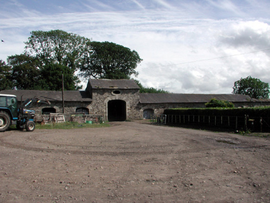 Clashmore Houseoutbuilding · 1.6 mi
 Clashmore Heritage CentreHeritage attraction · 1.8 mi
 D'Loughtane WoodForest · 2.0 mi
 Castle (in ruins)Castle, tower house · 2.3 mi
 Molana AbbeyHeritage attraction · 2.4 mi
 European ashEuropean ash · 2.5 mi
 St Bridget's WellSpring · 2.8 mi
 Youghal Foxhole Loop walkWalking route · 4.2 mi