What is recorded here
Ecclesiastical enclosure in Stowlin: Galway countryside, medieval Christian time. A church and graveyard sit near the centre of a broad oval boundary, likely marked once by bank and ditch. The plough has eaten the edges, but the shape still emerges beneath pasture when instruments or drones pass overhead. Inside the oval, smaller rectangular outlines appear, perhaps belonging to the church or arriving later. The enclosure is not a monument now; it is a memory the land keeps repeating.
In pastureland. This ploughed-out ecclesiastical enclosure came to light in 2013 following a geophysical survey around the church (GA108-224----) and graveyard (GA108-224001-) which are almost centrally located within it. A drone survey carried out in July 2018 confirmed that the enclosure (153m N-S; 138m E-W) was roughly oval-shaped in plan and that enclosing element most likely consisted of a bank (Wth 5-7m) and fosse. Further features revealed in this survey included a number of internal rectangular and subrectangular enclosures that may be associated with the ecclesiastical enclosure or may be later features (Carey no date).
Compiled by: Olive Alcock
Date of upload: 12 June 2019
The monument record does not grant public access. Check the route and ask the landowner before entering private land.
- What survives
- Recorded monument
Places near here
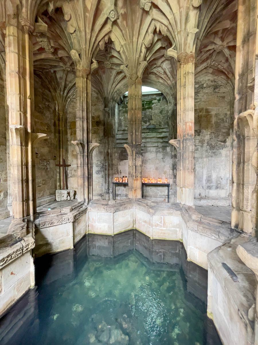
 St Patricks WellHoly well · 202 yd
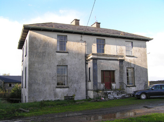 Stowlin Househouse · 522 yd
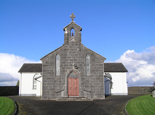 Catholic Church of Christ the Kingchurch/chapel · 1223 yd
 LisnapeakFairy fort / earthen ringfort · 1461 yd
 Longford Castle (in ruins)Castle, unclassified · 2.1 mi
 Derryhiveny CastleCastle · 3.8 mi
 Silver FirSilver Fir · 3.9 mi
 Ballymacegan IslandIsland · 3.9 mi
 Long IslandIsland · 4.2 mi
 Redmond HillMountain / peak · 4.3 mi
 European YewEuropean Yew · 4.8 mi
 Church HillMountain / peak · 4.8 mi
Other information
Photo: Credit not shown in the picture search · Rights wording not checked; contact us if this picture should be removed